Advertisement

We need your help now

Support from readers like you keeps The Journal open.

You are visiting us because we have something you value. Independent, unbiased news that tells the truth. Advertising revenue goes some way to support our mission, but this year it has not been enough.

If you've seen value in our reporting, please contribute what you can, so we can continue to produce accurate and meaningful journalism. For everyone who needs it.
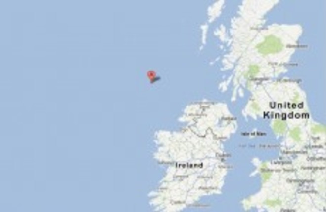
A marks the spot British Geological Survey
Donegal

Minor earthquake recorded off Irish coast

The 2.7 magnitude tremor occurred about 150km from the Donegal coast.

AN EARTHQUAKE WITH a 2.7 magnitude was recorded off the northwest coast of Ireland earlier today.

The deep tremor in the Atlantic ocean was noted by the British Geological Survey at about 9.08am. It was recorded at a depth of 34km.

The centre was marked 150km from the Donegal coast, according to the Meteo Times.

This isn’t the first seismic activity in the area this year. On 26 January, Donegal residents were woken by a minor earthquake, measuring 2.2 on the Richter Scale.

And on 6 June, a 4.0 magnitude earthquake struck about 30 miles off the coast of Mayo. British data showed the depth to be only three kilometres.

In May 2010, a 2.7-magnitude trembler hit Lisdoonvarna, just 6 miles from the Cliffs of Moher. It remains the strongest onshore earthquake recorded in Ireland since records began in 1978.

However, the largest earthquake felt in Ireland occurred on the 19 July, 1984. With a magnitude 5.4, it struck off the coast of Wales and caused minor structural damage on the East Coast of Ireland.


unnamed

click here

An Irish tsunami is ‘possible’ – experts

Updated: 4.0-mag earthquake strikes off Co Mayo coast

Minor earthquake strikes Co Donegal

Your Voice
Readers Comments
42
    Submit a report
    Please help us understand how this comment violates our community guidelines.
    Thank you for the feedback
    Your feedback has been sent to our team for review.