Readers like you keep news free for everyone.
More than 5,000 readers have already pitched in to keep free access to The Journal.
For the price of one cup of coffee each week you can help keep paywalls away.
Readers like you keep news free for everyone.
More than 5,000 readers have already pitched in to keep free access to The Journal.
For the price of one cup of coffee each week you can help keep paywalls away.
A NEW WEBSITE has been launched that gives people the opportunity to view Dublin as it was in 1916.
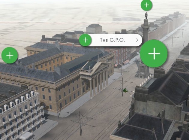
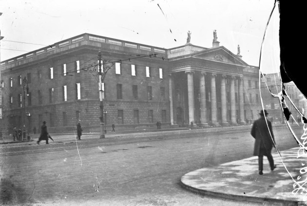
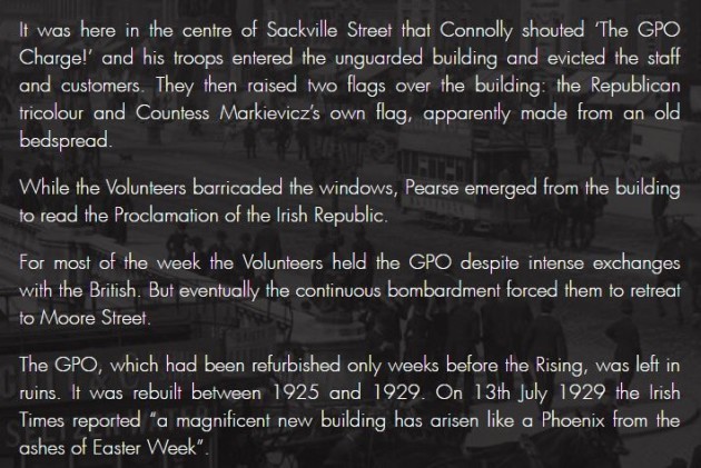
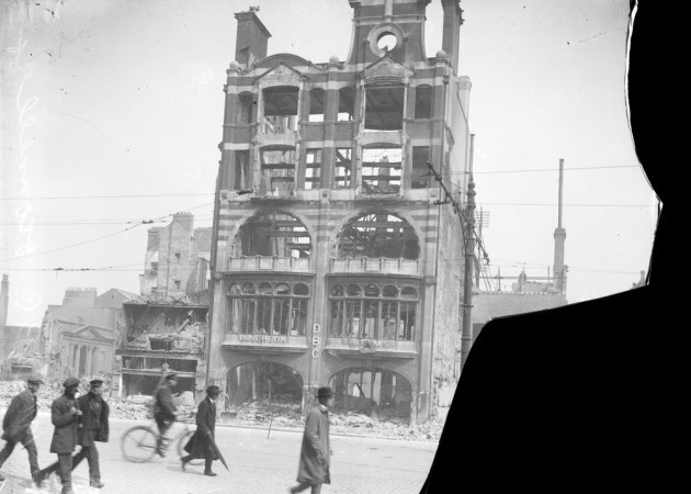
Lord Mayor Críona Ní Dhálaigh launched The City and the Rising today. It includes photos and 3D graphics, as well as written information about what took place in various locations in the capital at the time of the Easter Rising.
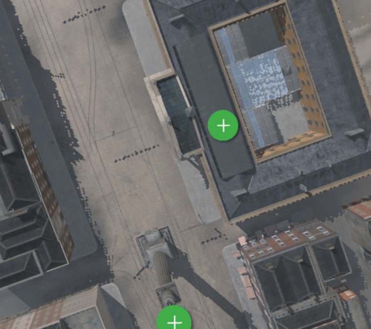
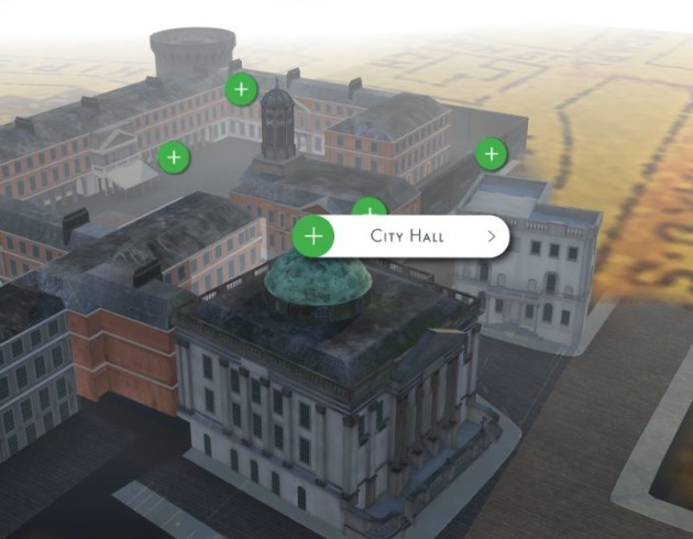
An interactive map lets users explore the Dublin of 1916 and inspect sites such as the GPO, Liberty Hall, St Stephen’s Green and Dublin Castle.
Ní Dhálaigh described the site as “visually striking, emotionally engaging and highly memorable”.
The website was developed on behalf of the Planning and Property Development Department of Dublin City Council.
Jim Keogan, assistant chief executive of the department, said: “This interactive map created by NOHO Ltd allows users to see how the streets and buildings of the city shaped one of the most important episodes in Irish history.
The sites at Sackville Street, Moore Street, Dublin Castle, St Stephen’s Green and Mount Street Bridge have been reconstructed as 3D virtual environments to give a real life experience of that time.
The website can be viewed here.
To embed this post, copy the code below on your site