Sign in. It’s quick, free and it’s up to you.
An account is an optional way to support the work we do. Find out more.
Sign in. It’s quick, free and it’s up to you.
An account is an optional way to support the work we do. Find out more.
TEMPERATURES ARE SET to take a dip today, with highs of just two to four degrees this afternoon.
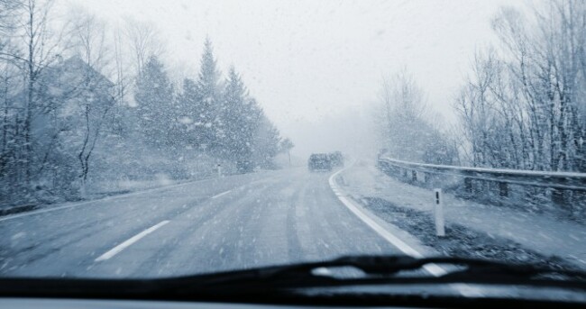
Met Éireann is forecasting early showers of hail and rain turning to sleet and snow later this morning. Some thunderstorms are also likely to develop.
It comes as a status orange snow ice-warning came into place for Cavan, Monaghan, Donegal, Leitrim, Mayo and Sligo yesterday evening.
It will remain in place until 6pm tomorrow and warns of hail, sleet and snow as well as “a risk of drifting and blizzard conditions” and “some scattered thunderstorms”.
Another snow-ice warning also came into place for Munster, Leinster, Galway and Roscommon at 5am this morning.
The yellow warning forecasts very cold, wintry weather with showers of hail, sleet and snow and icy conditions. It will also remain in place until 6pm on Friday.
Some photos of the snow in Letterkenny, Donegal have been posted on social media this morning:
Meanwhile, AA Roadwatch is advising motorists to take extra care on the roads this morning.
To embed this post, copy the code below on your site
have your say