Sign in. It’s quick, free and it’s up to you.
An account is an optional way to support the work we do. Find out more.
Sign in. It’s quick, free and it’s up to you.
An account is an optional way to support the work we do. Find out more.
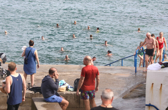
AFTER A SIZZLER of a day yesterday, today is to be cooler and cloudier, with a chance of isolated thunderstorms and heavy rain in parts of the country.
Temperatures will remain high however, peaking between 21 and 26 degrees, so beachgoers are unlikely to be deterred by a few rain showers.
Met Éireann is forecasting patchy rain and drizzle in the west and north, with scattered showers occurring across the rest of the country at times. Mist and fog may linger on coasts throughout the day.
It will be slightly cooler in the northwest, thanks to a southwest breeze.
The pollen count is to be high in all areas over the weekend in light of the warm humid weather, Met Éireann has warned allergy sufferers.
Planning on going to the beach this weekend? ☀️ Here are a few tips to help you get started.
— Water Safety Ireland (@IWSie) September 8, 2023
✅ Always swim within your depth
✅Avoid using inflatables.
✅ Always check the weather.
✅ Enter the water slowly to avoid cold shock. Warm weather do not mean warm water. pic.twitter.com/Y5gJPccbJj
Tonight will be mild and humid once again, with showers continuing, and some thunderstorms possible.
Temperatures will not fall below 14 to 17 degrees.
Tomorrow will see a drop in temperatures, with a peak between 20 and 24 degrees.
Scattered thunderstorms and heavy showers will spread from the south on Sunday, with a risk of spot flooding.

To embed this post, copy the code below on your site













have your say