Sign in. It’s quick, free and it’s up to you.
An account is an optional way to support the work we do. Find out more.
Sign in. It’s quick, free and it’s up to you.
An account is an optional way to support the work we do. Find out more.
LAST UPDATE | 1 Dec 2023
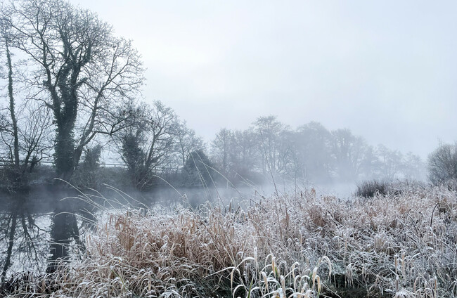
IT’S SET TO be a cold and icy weekend ahead with a low temperature warning to kick in nationwide later today.
A Status Yellow low temperature/ice warning was in place this morning for the whole country until midday.
Another Status Yellow low temperature/ice warning will kick in for the whole country from 5pm and will remain in place until midday on Sunday.
Met Éireann has warned that the cold temperatures may lead to slippery conditions underfoot, hazardous travelling conditions and animal welfare issues.
In the North, the UK’s Met Office has a Yellow ice warning in place for Antrim, Down and Derry until 10am today.
Looking at the general forecast, any frost, ice or fog this morning is due to gradually clear.
It will be very cold and bright today with sunshine and scattered showers, mainly in the north and west, with the odd shower on eastern coasts.
Tonight is forecast to be mostly dry with isolated showers, possibly of sleet or snow, mainly across the northwest.
Temperatures are due to drop as low as -4 degrees with a widespread sharp frost and icy patches.
Met Éireann has said this weekend is due to be “very cold with frost, ice and some wintry precipitation”.
Many areas will be dry throughout the day tomorrow, with any wintry showers occuring mainly along north and west coasts.
Tomorrow night is, again. due to be cold with scattered outbreaks of rain and drizzle moving in off the Atlantic, possibly turning wintry over higher ground.
Temperatures are due to fall as low as -3 degrees tomorrow night.
Sunday is forecast to be a mostly dry day with showers lingering near coasts.

To embed this post, copy the code below on your site















have your say