Sign in. It’s quick, free and it’s up to you.
An account is an optional way to support the work we do. Find out more.
Sign in. It’s quick, free and it’s up to you.
An account is an optional way to support the work we do. Find out more.
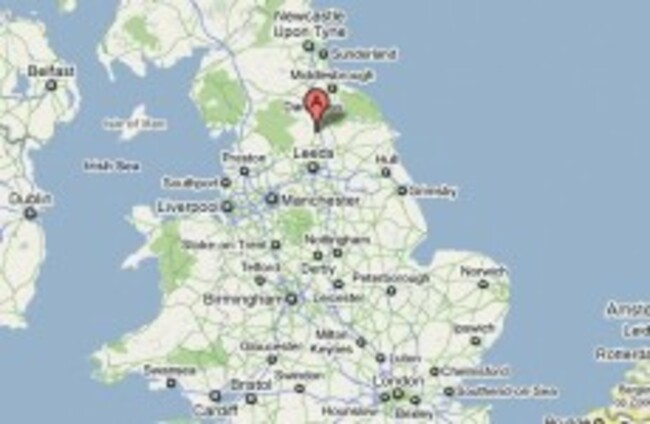
AN EARTHQUAKE MEASURING 3.6 on the Richter scale has been recorded at North Yorkshire, England, just weeks after a small earthquake was felt in the region.
British Geological Survey recorded the tremor about 9km north of Ripon, North Yorkshire, shortly after 9pm last night.
The BGS says an earthquake of this scale could be felt up to between 80km and 100km away, and this is the largest earthquake in the area since June 1970.
A spokesperson from the BGS told the BBC that given the strength of the earthquake, which only lasted a few seconds, it was unlikely to have caused any damage. BGS has posted a map marking where reports of the earthquake have been made.
On 21 December, a tremor of 3.5 on the Richter scale was detected in Cumbria.

To embed this post, copy the code below on your site















have your say