Sign in. It’s quick, free and it’s up to you.
An account is an optional way to support the work we do. Find out more.
Sign in. It’s quick, free and it’s up to you.
An account is an optional way to support the work we do. Find out more.
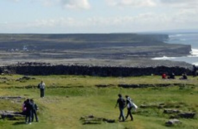
ANECDOTAL EVIDENCE FROM residents on the Aran Islands and local fishermen has led to the discovery of a massive underground river network in Galway Bay.
These rivers are made possible due to the limestone landscape of Galway being easily dissolved by rainwater to form conduits underground - the same process that produced the distinctive karst landscape of the Burren.
They have been tapped into by islanders for supplies of fresh water – the result of rain falling on the land, running through the limestone, and then flowing out under the sea.
Researchers from NUI Galway’s school of Earth and Ocean Sciences predict that some of these rivers, hidden under the seabed, could be up to 48 kilometres long and 20 metres wide.
“We were told about a well at a local hotel on Inishmaan that had an excellent supply of fresh water,” Dr Tiernan Henry, Lecturer in Environmental Geology, School of Natural Sciences at NUI Galway said.
“The islands can have water problems, they are always short, but this well went deep into the rock and was getting more water than falls on the whole island.”
Fishermen familiar with the area had also reported freshwater risings in areas along the south coast of Galway Bay.
This prompted researchers to investigate the claims further, leading to identification of these ‘freshwater rivers’.
The Burren was last year given an award to recognise the work being undertaken to conserve some of Europe’s most outstanding natural and semi-natural areas.
The Council of Europe chose the Burren, stating the award “recognises the European significance of the area, which has remarkable natural values, a rich flora and fauna, an important cultural heritage, traditional socio-economic activities and good management”.

To embed this post, copy the code below on your site











have your say