Readers like you keep news free for everyone.
More than 5,000 readers have already pitched in to keep free access to The Journal.
For the price of one cup of coffee each week you can help keep paywalls away.
Readers like you keep news free for everyone.
More than 5,000 readers have already pitched in to keep free access to The Journal.
For the price of one cup of coffee each week you can help keep paywalls away.
RECENT TRENDS IN afforestation suggest a renewed interest amongst farmers in native woodland creation, helped along by the generous new payment rates announced last December.
For a country which has less than two per cent of its land mass in native woodland, this is a good thing. However, simply planting trees in green fields does not a woodland make, and should not be the extent of our ambitions.
A woodland is more than just trees. A true woodland is a symphony of nature which includes trees, but also shrubs, flowers, lichens, fungi, mammals and birds. This diversity can take a very long time to develop, especially when trees are planted on land that has been under grass or crops for millennia.
Yet this is exactly how the current system operates. Native woodlands are created at random according to the wishes of the landowner or based on the likelihood of acquiring a planting licence. There is no overarching strategy or coordination at a national or local level.
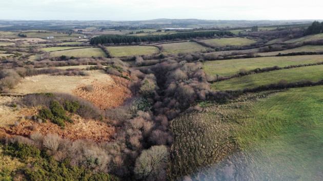
When measured by land cover our native woodland is despairingly low, however in terms of spatial distribution and frequency things look quite different, with small pockets of old woodland scattered all across the country.
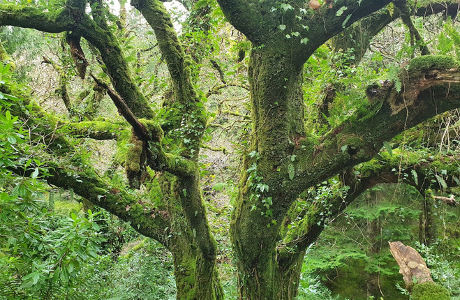
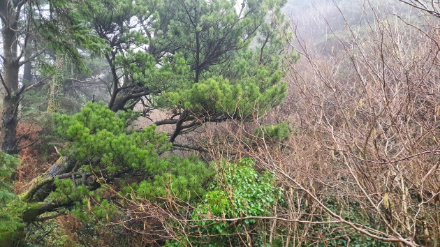
I have been exploring these woodlands near my home in the west Clare in recent years. I have found perhaps 40 of them, none of which appear on official inventories or national databases.
In my experience, they are in every townland, or certainly in every parish. Often, they are small, maybe 15 or 20 metres wide, tracing a townland boundary, or clinging on in steep river valleys.
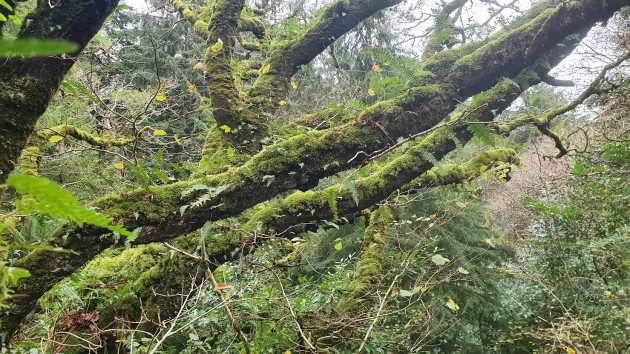
When you step into one of these places ancient woodland indicators like bluebell, wood anemone or wood sorrel give away the longstanding presence of trees. More clues can be found in the canopy where curiosities like the hazel glue fungus, or lungwort lichen similarly indicate the woodland’s antiquity.
Pine marten, red squirrels or birds like the treecreeper may reside here too.
All this unique flora and fauna will readily expand, but the woods must expand first. Thankfully this is a straightforward process and can be achieved by simply giving the woods space, perhaps a 25 or 50-metre boundary around the existing perimeter from which grazing animals and machinery are excluded.
There’s no need to plant trees – once the fence has been moved out into the field the trees will return themselves, their seeds spread by wind, or distributed by the hoarding efforts of squirrels and jays.
Farmers can be paid the same rates as if trees had been planted. Based on the most favourable schemes currently available one hectare of land allowed to revert to woodland would be worth roughly twenty-five thousand euro over a ten-year period.
Although unknown to the state or the public, these wooded hovels are well known to the farmers who own them. They know them as places of childhood fun or places where their animals seek out shelter in bad weather.
Generally, they are difficult to access pieces of ground left to their own devices.
Historically, land-use policies and market forces would have seen the expansion of these woods heavily suppressed. In some instances, the old woods were removed altogether. Thankfully these pressures particularly in relation to policy have receded. As of January 1st, the new CAP farm payments can be made on woodlands or scrub. This is a major change.
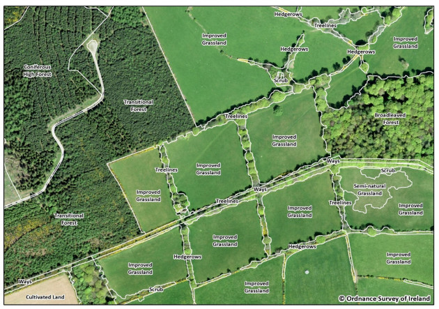
To go about expanding these old woodland pockets, we must first locate them. Certainly, farmers’ knowledge has a role here, but the heavy lifting can be done by using satellite imagery and machine learning. Old woodlands give off a particular visual signature from above. Once identified we can use machine learning to correlate different datasets (including old maps from the 1840s) to suggest probable locations.
The accuracy of this system can then be improved through “ground truthing”. That is visiting a random sample of suggested sites and corroborating that it is in fact an old woodland.
Once we know what’s out there, we can go about putting together a communications and incentives package to get willing landowners on board. In my opinion, this approach should be central to Ireland’s native woodland strategy.
Ray Ó Foghlú is a Nuffield scholar investigating attitudes to trees in rural Ireland. He is the project lead on Hometrees Wild Atlantic Rainforest Project.
To embed this post, copy the code below on your site