Sign in. It’s quick, free and it’s up to you.
An account is an optional way to support the work we do. Find out more.
Sign in. It’s quick, free and it’s up to you.
An account is an optional way to support the work we do. Find out more.
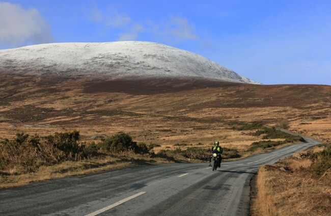
A NEW STATUS Yellow Snow/Ice warning is in place around Ireland until this evening after an initial warning in effect until noon expired.
The new warning issued by Met Éireann came into effect at noon and lasts until 7pm.
The forecaster is warning of “scattered falls of sleet, snow and hail continuing for the rest of today” and “icy and hazardous conditions”.
When the Snow/Ice warning ends at 7pm, a Status Yellow Low Temperature/Ice warning is due to start.
The later warning, which is valid from 7pm this evening until 10am tomorrow, warns of weather that is “icy and very cold with lowest temperatures of -5 to -2 degrees Celsius generally, colder locally”.
In Northern Ireland, a Snow and Ice Warning is in place for all six counties from the UK Met Office until 3pm, with an Ice Warning from 6pm this evening until 11am tomorrow.
A small craft warning is also in place due to strong northwesterly winds from Wicklow Head to Valentia and Slyne Head today and west to southwest winds tonight from Erris Head to Rossan Point and Malin Head. Both winds are expected to reach force 6 or higher.
Mét Éireann forecasts scattered sleet, snow and rain showers continuing today with some snow accumulation and icy conditions.
By the evening, “wintry showers will be mainly confined to Leinster”, while other areas of the country will see sunny spells and isolated showers.
Temperatures of between 1 and 4 degrees Celsius are expected, with light to moderate northwest breezes.
Tomorrow is expected to bring frost, fog and icy stretches clearing in the morning and wintry showers of rain and possible sleet in the north and northwest.

To embed this post, copy the code below on your site













have your say