Sign in. It’s quick, free and it’s up to you.
An account is an optional way to support the work we do. Find out more.
Sign in. It’s quick, free and it’s up to you.
An account is an optional way to support the work we do. Find out more.
LAST UPDATE | 16 May 2024
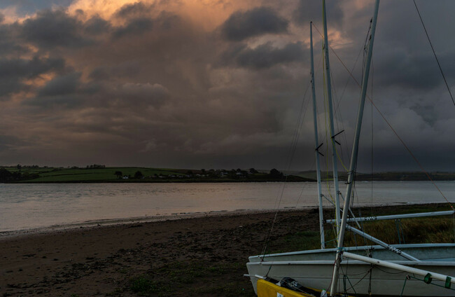
A STATUS YELLOW thunderstorm warning has been issued for 18 counties.
The alert kicked in at 3pm and remain in place until 8pm this evening.
The impacted counties are: Carlow; Cavan; Clare; Cork; Kildare; Kilkenny; Laois; Leitrim; Limerick; Longford; Louth; Meath; Monaghan; Offaly; Roscommon; Tipperary; Waterford; and Westmeath.
Met Éireann advises that there will be heavy downpours with thunderstorms and hail.
There is also the potential for spot flooding, hazardous travelling conditions and poor visibility.
Later this evening, a Status Yellow warning for rain will come into place across Dublin, Wexford, and Wicklow.
The rain alert for these three counties is valid from 6pm to midnight.
Met Éireann is warning of heavy and possibly thundery rain at times, with the potential for spot flooding, poor visibility and travel delays.
Looking ahead, tomorrow morning will be cloudy and misty in the east and west, with some residual drizzle.
In other parts, mist and fog will give way to a mix of cloud and sunny spells.
These sunny spells will break through to the east and west in the afternoon and evening, with temperatures of between 17 and 20 degrees, though cooler in the northwest.

To embed this post, copy the code below on your site














have your say