Sign in. It’s quick, free and it’s up to you.
An account is an optional way to support the work we do. Find out more.
Sign in. It’s quick, free and it’s up to you.
An account is an optional way to support the work we do. Find out more.

THE FIRST SIGNS of summer are definitely here.
Top temperatures are due to linger just below 20 degrees for the remainder of the long weekend, although the forecast isn’t as predictable for the west of the country.
Met Éireann says today will remain dry with temperatures as high as 22 degrees, with a calm night ahead with some mist and fog forming.
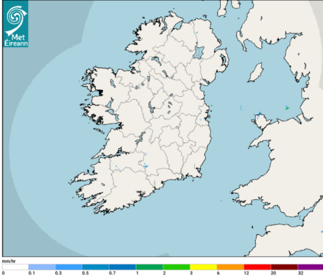
These conditions will clear into Saturday and temperatures of between 17 and 22 degrees are likely, but cloudy conditions will prevail in Connacht and west and north Ulster, where it will be cooler with some light rain along the coast.
After another foggy night, Met Éireann warns there is a “high degree of uncertainty” in the forecast for western areas due to “an uncertainty in the positioning of a slow moving frontal system which is battling against the high pressure to the east”.
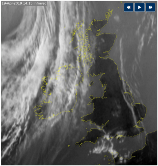
Temperatures will remain high on Sunday, but scattered rain is likely in southwestern, western and northwestern coastal fringes.
The west will remain cloudy on Monday with sunny conditions in the rest of the country, albeit with the risk of some showers. Top temperatures will range from 14 to as high as 19 degrees.
The weather will be more unsettled from Tuesday – but let’s just enjoy the weekend first, right?

To embed this post, copy the code below on your site
















have your say