Advertisement
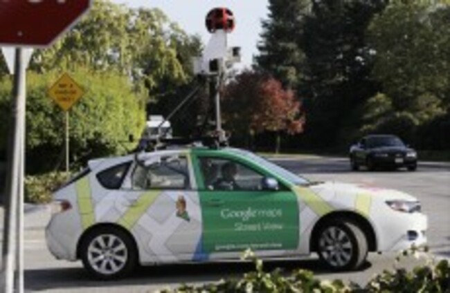
AP Photo/Paul Sakuma
DIY Maps

Google lets users create their own Street View locations

Anyone with an Android phone or Digital SLR camera can upload their own Street View images onto Google Maps.

GOOGLE IS NOW allowing users to create their own street view panoramas, which can be shared on Google Maps.

Announcing it on its Maps blog, anyone who has an Android phone or a digital SLR camera can capture areas in 360° and upload them onto the site.

Users must share them on Google Views first, a place where people can share 360° images of scenic locations.

If you have more than one to share, you can connect them together and then publish them on Google Maps. Users can then move between them like they usually would on Street View.imageUsers can connect Street View images first before uploading them on Google Maps (Image: Google).

The project manager for Google Maps and Photo Sphere, Evan Rapoport, said in the post:

This feature can now enable environmental non-profits to document and promote the beautiful places they strive to protect. It also opens up a new tool for photographers to showcase diversity in a specific location – by times of day, weather conditions or cultural events – in a way that Street View currently doesn’t cover.

It’s hoped that by opening up the service to ordinary users, areas that were missed by Street View will now be covered on the site.

Read: Ireland’s public transport schedule now included in Google Maps >

Read: From Budapest to Everest, Google Street View reaches 50 countries >

Your Voice
Readers Comments
5
    Submit a report
    Please help us understand how this comment violates our community guidelines.
    Thank you for the feedback
    Your feedback has been sent to our team for review.