Sign in. It’s quick, free and it’s up to you.
An account is an optional way to support the work we do. Find out more.
Sign in. It’s quick, free and it’s up to you.
An account is an optional way to support the work we do. Find out more.
THERE WILL BE rain, sleet and snow in some areas over the weekend, Met Éireann has said.
Rain is expected to spread eastwards to all areas this morning. It will clear this afternoon and evening and be followed by scattered showers.
Highest temperatures will range from eight to 12 degrees Celsius with moderate to fresh southerly winds. The winds are due to veer westerly and become strong in the northwest.
There will be clear spells and showers tonight, a few of them wintry in the north. Lowest temperatures will range from one to five degrees, and it will be coldest in Ulster.
Tomorrow is expected to be mostly cloudy as bands of showers move eastwards across the country. Some of them will be wintry over Ulster.
Met Éireann has said there will also be some bright or sunny intervals. Highest temperatures will reach five degrees in the north and 11 degrees in the south, with gusty westerly winds.
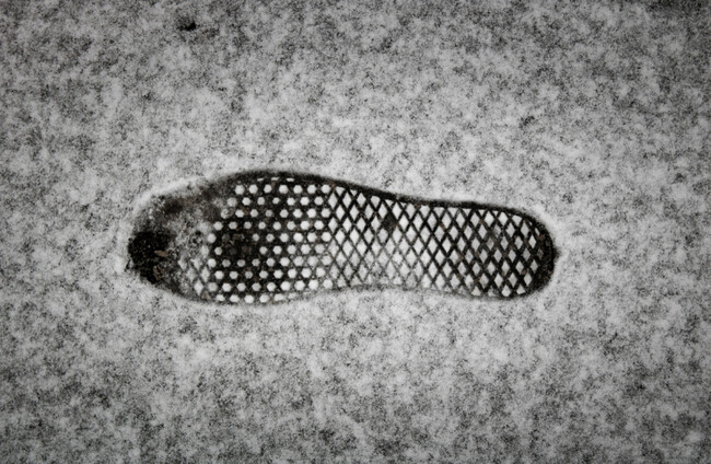
Snow
Tomorrow night to due to be cold and breezy with wintry showers, mainly of rain, hail and sleet. These are expected to turn increasingly to snow overnight, especially in Ulster and on high ground.
Lowest temperatures will range from zero to three degrees, with moderate to fresh westerly winds.
Sunday will be a very cold day with sunny spells and wintry showers of rain, hail, sleet and snow. Highest temperatures will range from four to seven degrees, with gusty westerly winds.
On Sunday night, showers will become more isolated. It will be cold with lowest temperatures of zero to two degrees, with frost and icy patches in places.
Monday will start off mainly dry with some sunny spells. It will become a bit milder with highest temperature of seven to 10 degrees.
Southerly winds will gradually strengthen and rain will spread eastward across the country later in the day and on Monday night.
The rain will be heavy in many areas. It will clear overnight with showers following from the west.

To embed this post, copy the code below on your site


have your say