Sign in. It’s quick, free and it’s up to you.
An account is an optional way to support the work we do. Find out more.
Sign in. It’s quick, free and it’s up to you.
An account is an optional way to support the work we do. Find out more.
A METEOROLOGIST AT Met Éireann has said it was not clear until this morning that the snow was going to be as widespread and heavy as it is.
Brandon Creagh told RTÉ Radio One’s Today with Claire Byrne that snow is “notoriously” difficult to forecast.
He said if Met Éireann had a crystal ball “that we knew exactly what was going to happen maybe that would have been an orange warning” instead of the current yellow weather warning in some areas.
Creagh said the warning was issued based on the most solid evidence “at the time”.
“Given the risk at the time we do not take our warnings lightly at all and we cannot over warn otherwise people will not believe the orange warning when they come,” he said.
The meteorologist said it is the east of the country which is most likely to get the most persistent amounts of precipitation falls but as it moves south it will turn to rain.
Check out all the latest warnings ⤵️https://t.co/lvQFgW8DsS pic.twitter.com/tHX981vGvn
— Met Éireann (@MetEireann) March 1, 2024
He said nothing like the snow today is expected tomorrow.
“And then Sunday it changes to a northwesterly which again is just showers for the northwest and parts there dying out as they make their way inland,” he said.
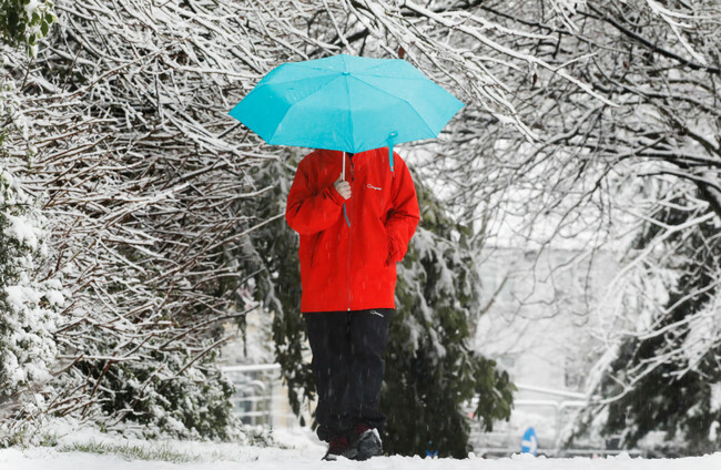
Snow has been reported across the country this morning with Met Éireann warning of the potential for icy stretches, poor visibility and hazardous travelling conditions in areas.
A number of weather warnings are in place.

To embed this post, copy the code below on your site
















have your say