Sign in. It’s quick, free and it’s up to you.
An account is an optional way to support the work we do. Find out more.
Sign in. It’s quick, free and it’s up to you.
An account is an optional way to support the work we do. Find out more.
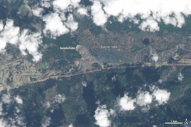
A NASA SATELLITE has taken a photo of the devastating mudslide showing the scale of devastation to the area which has resulted in 176 people unaccounted for.
The Operational Land Imager (OLI) on the Landsat 8 satellite acquired this image of the landslide debris and the barrier lake on23 March.
Two bodies were recovered from the site on Tuesday, while eight more were located in the debris field from Saturday’s slide 55 miles northeast of Seattle.
That brings the likely death toll to 24, though authorities are keeping the official toll at 16 until the eight other bodies are recovered.

To embed this post, copy the code below on your site















have your say