Sign in. It’s quick, free and it’s up to you.
An account is an optional way to support the work we do. Find out more.
Sign in. It’s quick, free and it’s up to you.
An account is an optional way to support the work we do. Find out more.
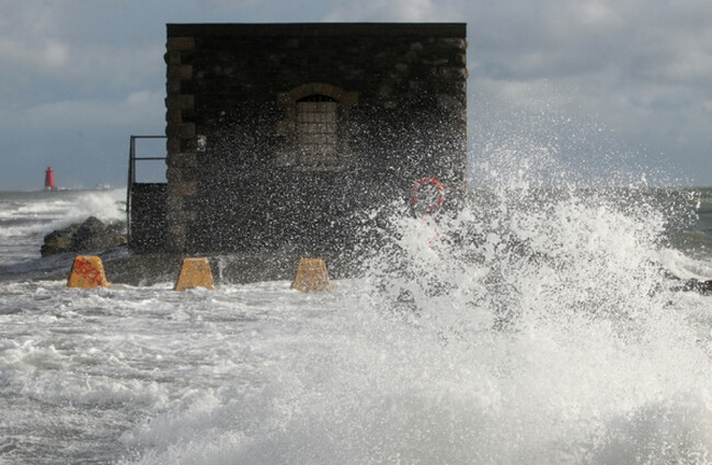
A STATUS YELLOW rain and thunderstorm warning is set to come into effect later today across all of Connacht and Munster, as the recent spell of good weather looks set to end over the weekend.
The warning itself was issued by Met Éireann yesterday morning and will kick in from 6pm tonight and last until 6pm tomorrow night.
The warning will be in place across Cork, Kerry, Clare, Tipperary, Galway, Mayo, Leitrim, Waterford, Limerick, Roscommon and Sligo.
Met Éireann have warned that there will be heavy showers or longer spells of rain with a chance of thunderstorms in places.
The forecaster says that this may lead to spot flooding in places, adding that the “highest rainfall totals likely to be near the west coast on high ground”.
Elsewhere, today’s forecast is predicting cloudy weather across the country. Rain will move from the southwest towards the northeast this afternoon, with scattered showers likely.
The highest temperatures today are set to be between 14 and 19 degrees.
On Saturday, it’s set to be an “unseasonably cold, windy and wet day” according to Met Éireann.
With rain warnings still in place for Connacht and Munster, it will spread eastwards later in the day.
Highest temperatures tomorrow will be between 11 and 17 degrees.
On Sunday, its set to be mixed with sunny spells and widespread rain, with possible thundery downpours possible.
Temperatures are set to be between 13 and 16 degrees.

To embed this post, copy the code below on your site













have your say