Sign in. It’s quick, free and it’s up to you.
An account is an optional way to support the work we do. Find out more.
Sign in. It’s quick, free and it’s up to you.
An account is an optional way to support the work we do. Find out more.
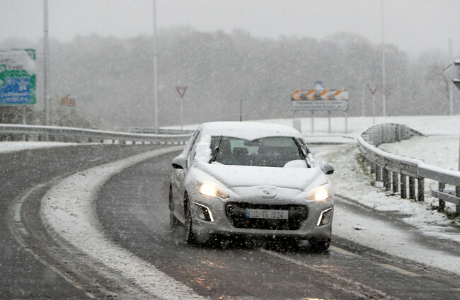
THERE IS A yellow weather warning in place until 10am today, with snow and ice a hazard on many routes around the country.
Temperatures hit as low as -4 degrees overnight, as Ireland continues to be hit by a spell of very cold weather.
AA Roadwatch is advising motorists to take extra care, particularly on secondary roads and sheltered areas.
Here are the areas that it says may be particularly dangerous this morning:
While a number of schools were closed yesterday, parents are advised that the school will contact them directly if the school will remain closed today.
Met Éireann forecasts that rain will move into Atlantic coastal counties and will extend eastwards during the morning and afternoon, turning to sleet and snow in some areas.
The rain will mostly clear later into the afternoon and this evening, with maximum temperatures of 4 degrees in the north and northeast and 10 degrees along southern and Atlantic coasts.
Showers will become more widespread overnight, with hail and a risk of thunderstorms. The frost will then return on Wednesday and Thursday night, heading into the weekend.

To embed this post, copy the code below on your site














have your say