Sign in. It’s quick, free and it’s up to you.
An account is an optional way to support the work we do. Find out more.
Sign in. It’s quick, free and it’s up to you.
An account is an optional way to support the work we do. Find out more.
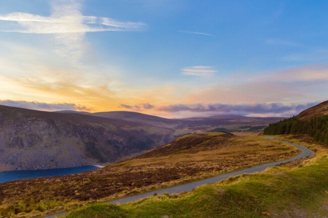
SOMETIMES IT’S WORTH going off the beaten track a little to seek out something special, and if you have a car (and a map) at your disposal you can access some of Ireland’s best walking routes very easily indeed.
Car-less tourists might be restricted by the limits of public transport, but with the freedom of your own four wheels, a whole new side of Ireland opens up.
If a change of scenery sounds tempting, read on for five breathtaking walking routes that are best accessed by car…
What’s it like?
If the deep black waters and pale white sand of Lough Tay remind you of a certain Irish beverage, you’re on the right track – the Guinness family estate runs through the area. In fact, the family are said to have imported the sand to ensure the Lough Tay ‘pint’ had a creamy head.
How do I get there?
From Dublin, take the M50 south, then take the N11 exit toward Roundwood/Glendalough. From there, it’s under 20 minutes to Luggala Lodge where you can park up. Head for Knocknacloghoge to look down over Lough Dan, or go up Fancy/Luggala mountain to avail of some incredible views over Lough Tay.
What’s it like?
A walk along the 6km Girley Bog Loop in summer with the wildflowers in full bloom is a perfect family day out through forest and raised bog, especially if you bring a picnic.
How do I get there?
From Dublin city, it’s a 55 minute drive east. Take the Navan Rd to the M3 in Fingal, and follow the signs for Cavan before turning onto the N52. The trailhead begins at the entrance to Bell’s Wood, just off the N52.
What’s it like?
The entire Barrow Way runs 70km along the banks of Ireland’s second longest river, meaning you can join it at Lowtown, Monasterevin and Athy all the way up to the picturesque abbey town of Graiguenamanagh.
How do I get there?
The river’s many locks mean a looped walk is an easy option if you don’t want to risk getting stuck miles from your car. Starting at Clashganny Lock, for example, you can cover a 3.5km or 6km loop, taking in forest terrain and stunning views of the surrounding countryside. From Dublin it’s a 1.5 hour drive south along the M9.
What’s it like?
Nestled in the Dublin Mountains, Ticknock has a range of forest and mountain trails of varying lengths. The main forest paths are flat enough for young kids, while Three Rock Mountain and Two Rock Mountain can be accessed via more challenging terrain. Ticknock is also a possible Wicklow Way starting point.
How do I get there?
From Dublin city centre, you’ll be there in just over half an hour. Head for Marlay Park via Rathfarnham, pass the main entrance of the park on your right and follow the road around the edge of the park, turning left at the next junction. The second right turn will take you to the parking area at Ticknock Forest.
What’s it like?
Considered the starting point of Ireland’s Ancient East, Carlingford’s walking routes offer coastal views and lush mountain greenery. From the 40km Táin Way to the 4km Commons Loop, the town of Carlingford itself is a great starting point for a massive range of walks.
How do I get there?
From Dublin, it’s a 1.5 hour journey along the M50 and the M1 northbound. From the M1 take the N52 exit for Dundalk North/Carlingford, and you’ll be at the town centre in 25 minutes. The tourist office at Carlingford is a trailhead for many of the area’s main walking routes.

To embed this post, copy the code below on your site









have your say