Sign in. It’s quick, free and it’s up to you.
An account is an optional way to support the work we do. Find out more.
Sign in. It’s quick, free and it’s up to you.
An account is an optional way to support the work we do. Find out more.
GALWAY START-UP Disaster Tech Lab is teaming up with a company run by former military aviators to use drones in disaster zones to help save lives.
The new venture will see the pair collaborate on building airborne wireless sensor platforms – the drones will be flown over a disaster zone to detect and geolocate signals emitted by mobile phones and WiFi networks.
This could indicate people trapped in rubble or in flooded houses, or the drones could map where wireless networks are still up and running after a disaster.
The information gathered by the drone would then be passed on in real-time to first responders, dramatically reducing the time needed to locate victims.
Founders
DTL founder Evert Bopp, who started the company with his wife Kate, worked in commercial aviation and tech start-ups before moving into high-tech disaster relief around four years ago.
Since then, DTL technologies have been deployed in the US after Hurricane Sandy and in the aftermath of the devastating super typhoon which caused havoc last year in the Philippines.
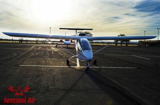
Kate and Evert make proprietary software which is installed on commercially available sensors, which in turn will be installed in the aircraft operated by Sentinel.
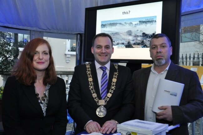
At the moment, the technology is focused on WiFi signals, by Bopp hopes to soon perfect a method of incorporating cellular signals from mobile phone networks as well.
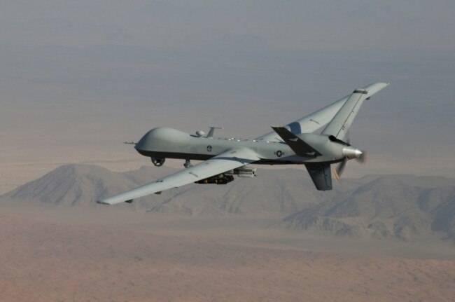
He said that he was particularly pleased to be working with aviators using full blown drones, rather than relying on quadcopters, which are popular but operate in a legally problematic environment.
“The legislation for these quadcopters hasn’t matured yet, and during a lot of recent disasters their use has been banned. We also wanted a partner with actual aviation experience.”
Aerial video footage is of a huge benefit in our work – sometimes areas aren’t accessible by vehicle, or the condition of roads into remote areas affected by disasters isn’t known.Having an eagle-eye view in real-time will not only help us but as we plan to share the gathered data with other responding organisation it will help the overall response effort.
The initial proving-ground for the technology will be in the US. At the moment, DTL relies mostly on charitable donations to cover its cost but is considering moving to a not-for-profit model, and potentially commercialising some of its technologies.
Sentinel Air co-owner Dean Attridge said that “the increased situational awareness offered by combination will increase efficiency and safety for first responders and in times of disaster will save lives”.

To embed this post, copy the code below on your site













have your say