Sign in. It’s quick, free and it’s up to you.
An account is an optional way to support the work we do. Find out more.
Sign in. It’s quick, free and it’s up to you.
An account is an optional way to support the work we do. Find out more.

GOOGLE MAPS IS the go-to for many people who find themselves lost and in need of directions.
The service is now stepping indoors with indoor maps across 40 public places in Ireland.
The interactive map will help users find their way around buildings such as Dublin Airport, train stations, shopping centres, stadiums, universities and sites like the Guinness Storehouse and the National Museum.
Dublin Airport believes the indoor map will give passengers a refreshed view of the airport and help them discover the best the airport has to offer.
Meanwhile, the managing director of Guinness storehouse, Paul Carty, said, “The Guinness Storehouse itself spans over 7 floors and Indoor Google Maps gives the consumer the power to plan and research their trip in advance or as they walk through the building to make the best use of their time.
At the touch of a button consumers can see the floors, exhibits and even the food outlets from the comfort of their own mobile device.
To use the indoor maps- users need to zoom into maps until you start to see an indoor floor plan of the building, and use the floor picker to move from the ground floor to other available floors in the building.
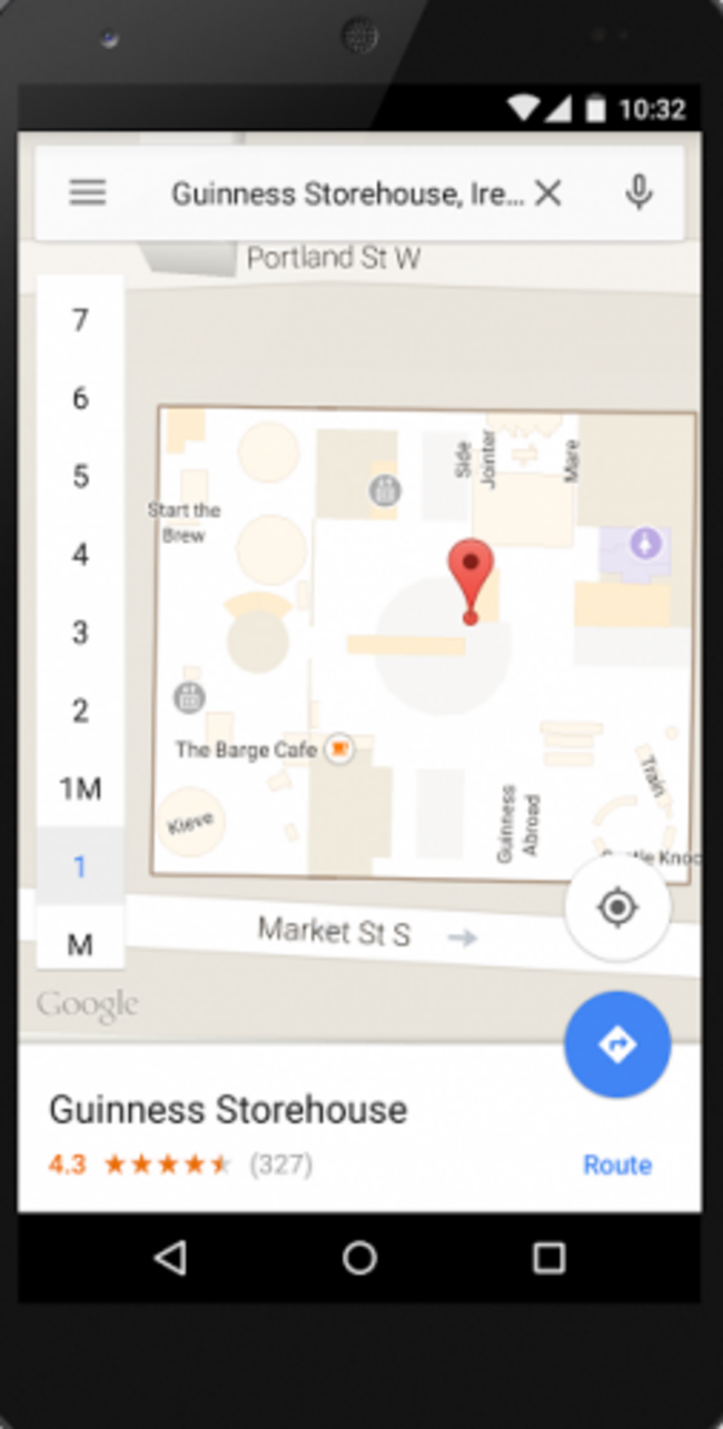
The interactive map tool is available in the Google Maps app on Android and iOS, as well as on desktop and is available for more than 40 locations in Ireland.

To embed this post, copy the code below on your site













have your say