Sign in. It’s quick, free and it’s up to you.
An account is an optional way to support the work we do. Find out more.
Sign in. It’s quick, free and it’s up to you.
An account is an optional way to support the work we do. Find out more.
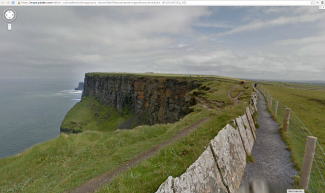
HARD TO REACH paths along the Cliffs of Moher can now be walked on Google Street View.
The company has released images from their Street View Trekker Loan programme, which invites organisations to help collect imagery of hard to reach places across the globe.
Interested ‘Trekkers’ apply to borrow Google’s Trekker equipment so that they can help capture images of some of the world’s most amazing locations as they travel.
To capture Clare’s sights, Google teamed up with the Clare Local Development Company so that people can now explore these picturesque trails from their phone, tablet or computer.
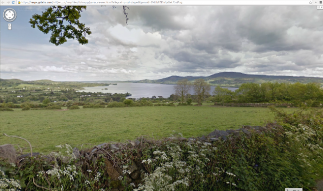
Taking in one of Ireland’s most famous landscapes, the Cliffs of Moher trail is a 12 kilometre Atlantic coastal walk linking Liscannor to Doolin using roadways and skirting along cliff-top pathways.
Now, people can use Street View to view the route for themselves, even taking in the local flora and fauna, including a colony of seabirds such as puffins and guillemots.
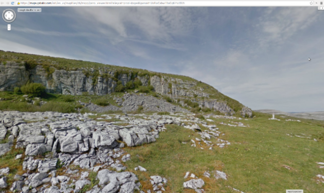
Eoin Hogan, Rural Recreation Officer for Clare Local Development Company and Project Leader said, “Our motivation for getting involved in the Google Trekker Loan programme was to be able to showcase our stunning native landscape and inspire a wider audience to come and visit the county’s trail for themselves.
“Over the period of three weeks and 46 kilometres, we collected 21 hours, or 1,260 minutes of footage from six key trails.”
You can find out more about Street View here.

To embed this post, copy the code below on your site














have your say