Sign in. It’s quick, free and it’s up to you.
An account is an optional way to support the work we do. Find out more.
Sign in. It’s quick, free and it’s up to you.
An account is an optional way to support the work we do. Find out more.
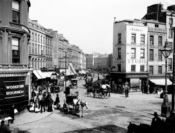
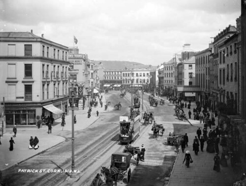
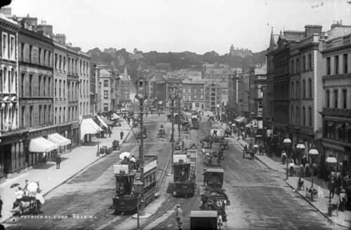
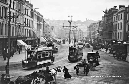
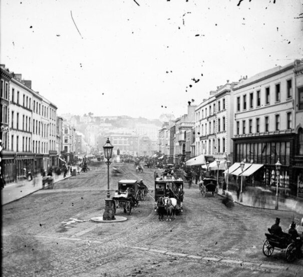
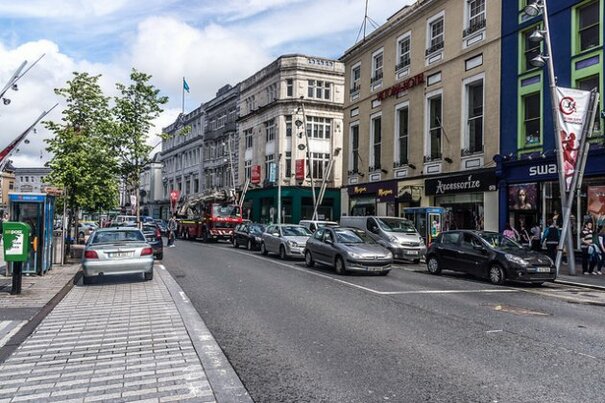
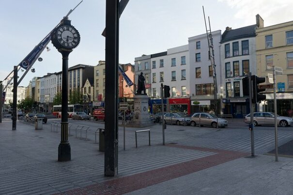
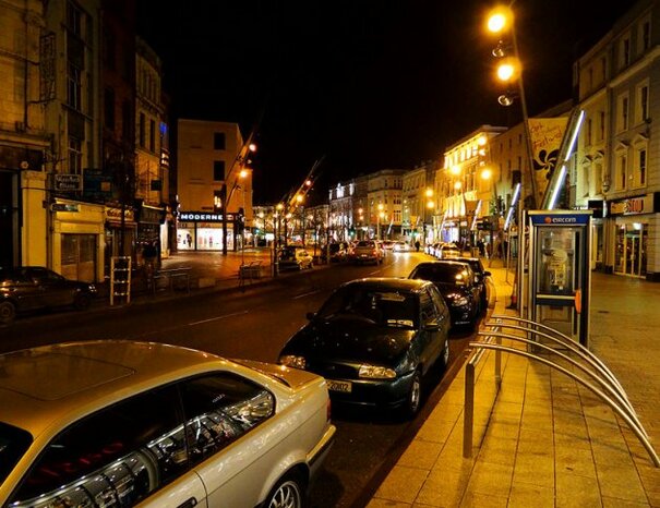
CORK CITY’S MAIN thoroughfare is St Patrick Street, a softly winding street that is a popular shopping spot.
Like many city centre streets, this was once a mainly residential area, but today it is a commercial location. It underwent quite a transformation from 2002 – 2004, getting modernised in time for it to hold the title of City of Culture in 2005.
Cork city’s centre is located on marshy islands on the river Lee, as this map of the area shows. According to Cork Past and Present, St Patrick’s St was formed in 1783, and the river channels between the island of the River Lee were covered over for the city centre roads.
During refurbishment in 2005, some of these channels were exposed for the first time in 200 years.
Saint Patrick’s Bridge was opened in 1789, which greatly helped the street’s development to make it an important street for Cork.
Today, the wide street is mainly pedestrianised, with just two lanes for traffic. It’s a much more interesting and vibrant street to walk down, with the development of the Opera Lane area also adding even more high street stores to attract shoppers.
Off Patrick Street, you’ll find the business-orientated South Mall, with the Imperial Hotel (where stars like Grace Kelly once stayed); the Grand Parade which holds Bishop Lucey Park and the fountain; the Crawford Art Gallery, Paul St and the Opera House.
All images taken from the National Library of Ireland Catalogue, or the National Library of Ireland Flickr account, used with kind permission.



To embed this post, copy the code below on your site











have your say