Sign in. It’s quick, free and it’s up to you.
An account is an optional way to support the work we do. Find out more.
Sign in. It’s quick, free and it’s up to you.
An account is an optional way to support the work we do. Find out more.
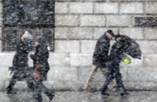
DON’T GO PUTTING your winter coat and gloves into storage any time soon – the snow is going to stick around for another little while yet.
According to the Irish Weather Network, snow showers will continue to affect many parts of eastern half of the country this evening, with some drifting into Connaught and east Munster.
We can expect most of the showers to be light to moderate, but winds will be strong east to northeast. They will decrease overland, though they will continue to be “fresh and gusty” in the southeast and especially in any showers, says IWN.
What can we expect tonight?
According to IWN, we will see ice begin tonight, as snow and snow melt freezes over. We can expect lowest overnight temps of -1C to -5 or possibly -6C, with it being coldest in the midlands.
Showers of hail, sleet and snow will now move onto the north and northwest coast tonight, while any remaining showers in the southeast die away.
Tomorrow, there will be more cold, fresh northerly winds and wintry showers, which will affect much of the northern half of the island. Top temperatures will be around 4 or 5C. But we will see another very cold night, as air temperatures fall below freezing.
Careful on those roads, as we will see a sharp frost forming and icy stretches on untreated roads.
Road safety
With all this in mind, the Road Safety Authority (RSA) has given its advice for road users in snow and icy conditions.
Freezing Temperatures
Pedestrians and cyclists are advised to:
Road users are advised to check local and National weather forecasts before setting out on a journey, such as IWN or Met Eireann’s website.
More information can be found on the RSA’s website.

To embed this post, copy the code below on your site










have your say