Sign in. It’s quick, free and it’s up to you.
An account is an optional way to support the work we do. Find out more.
Sign in. It’s quick, free and it’s up to you.
An account is an optional way to support the work we do. Find out more.
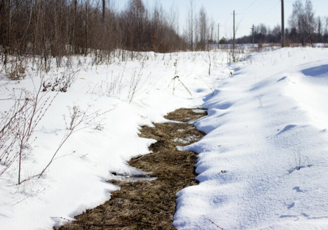
TEMPERATURES ARE SET to drop below freezing at night this weekend with snow possible on high ground and scattered rain showers elsewhere.
Met Éireann says that today will be a mix of scattered showers and sunny spells across the country, with rain pushing down from the north early but clearing away later on in the day.
Highest temperatures will be 9°C in the north and 12°C in the south with moderate to fresh winds.
Rain over the Wicklow mountains may turn to snow tonight as temperatures dip below 0°C, and there will be further wintry showers in the north.
However, most of the rest of the country will remain dry, with temperatures falling to as low as -2°C in some areas.
The weekend
Saturday will be a mix of scattered showers and bright, sunny spells. Most of the rain is set to be in the east of the country, while the west should be brightest.
It will be quite cold everywhere – with highest temperatures only reaching 6 to 9°C and a persistent northern wind making things that bit colder.
Frost will come with clear weather on Saturday night, with lowest temperatures again somewhere between -2 and 0°C.
Sunday should have good sunshine with temperatures around 9 or 10°C. Frost will come back in some areas on Sunday night but cloud cover in the north will keep things a bit milder there.

To embed this post, copy the code below on your site
















have your say