Sign in. It’s quick, free and it’s up to you.
An account is an optional way to support the work we do. Find out more.
Sign in. It’s quick, free and it’s up to you.
An account is an optional way to support the work we do. Find out more.
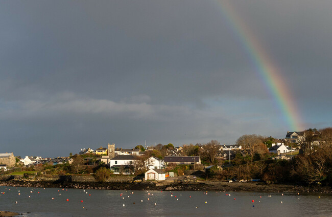
A COLD SNAP may be ahead as weather maps predict some shallow snowfall in parts of the country early next week.
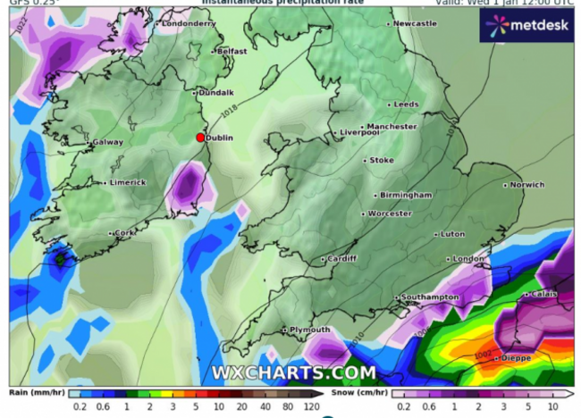
Counties Donegal, Wexford, Monaghan, Galway and Sligo may see three or four inches of snow between 31 December and 1 January according to weather syndicate services.
A band of rainfall from the Atlantic is expected to cross over Ireland at the end of this week, bringing with it heavy rain, winds and lower temperatures. The heaviest of rain will is expected in the west and the north throughout the day on Saturday.
Meanwhile, parts of Ulster will see some outbreaks of rain today while conditions will remain mostly cloudy, with plenty of dry weather overall. Highest temperatures will reach 10 to 12 degrees, with moderate winds.
It will remain cloudy overnight, with temperatures dropping slightly to between 7 and 10 degrees across the country. Some areas in the south should expect fog and mist to appear in the night.
Cloudy but mild conditions are set to remain in place, and all areas will likely remain dry, until the rainfall begins from the west at the weekend.
Met Éireann has yet to confirm if there will be snowfall in the near future, but has warned the public to expect colder temperatures ahead of the new year. The Meteorological Service said there is a lot of uncertainty with the weather at present.

To embed this post, copy the code below on your site













have your say