Sign in. It’s quick, free and it’s up to you.
An account is an optional way to support the work we do. Find out more.
Sign in. It’s quick, free and it’s up to you.
An account is an optional way to support the work we do. Find out more.
LAST UPDATE | 5 Jan
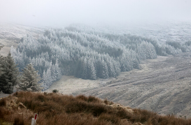
STATUS YELLOW WEATHER warnings in place around the country have been extended until tomorrow as Met Éireann forecasts “very cold” conditions, with some schools in the worst-affected areas deciding to open late or stay closed entirely today.
Cavan, Donegal, Monaghan, Louth and all of Connacht are under a snow and ice warning. Wintry showers with some snow accumulations are possible in these areas, as well as sharp or severe frost and ice.
The rest of the country is under a warning for ice and low temperatures.
The warnings were originally due to expire at 11am today but have now been extended until 9am tomorrow, with some changes in which type of warning applies where.
Most counties are now under a warning for low temperatures and ice. Only Donegal, Leitrim, Mayo and Sligo will be subject to a snow and ice warning.
Several schools in the northwest, particularly in Donegal, have decided to remain closed today or open later than usual.
Waterford City and County Council will be treating over 500km of road today.
Donegal County Council’s director of roads and transportation, Bryan Cannon, has said that crews have been out since 5am this morning gritting roads but that driving conditions “remain challenging”.
Speaking on RTÉ Radio One’s Morning Ireland, Cannon said that there are a “significant number” of school closures as well as some interruptions to public transport services.
“The public are advised to avoid unnecessary travel, and when driving, they should assume that no road is ice free,” he said.
The Road Safety Authority warned road users overnight to take care on icy surfaces.
Stay visible and safe in dark & icy conditions.
— RSA Ireland (@RSAIreland) January 4, 2026
🚗 Drivers: Turn on your lights. Watch for pedestrians & cyclists, especially in poorly lit areas.
🚶♂️🚴 Pedestrians & cyclists: Wear bright or reflective clothing. Stay in well-lit areas and use designated crossings. pic.twitter.com/RxQ3NMQhSs
Met Éireann’s latest forecast says it will be a “very cold” start to the day, and that frost and icy stretches on untreated surfaces slow will be slow to clear.
Patches of freezing fog and some lying snow is expected in some areas, the forecaster says.
Despite the cold weather, it should be a dry and sunny day for most areas, with wintry showers mainly confined to north and northwest fringes by midday.
Highest temperatures of only one to six degrees are expected.
Tonight, lowest temperatures will fall to between two and minus three degrees.
It’s set to be another chilly day tomorrow, with highest temperatures reaching no more than between three and eight degrees, coldest in the east.
Met Éireann forecaster Michelle Dillon said that temperatures were sub-zero in many areas this morning and wouldn’t get above freezing in places until around noon.
She told RTÉ that “treacherous conditions” would continue, with more frost, ice and snowfall showers expected overnight, but that the conditions should start to improve tomorrow as temperatures become a little less cold.
Meanwhile, the UK Met Office has issued a snow and ice warning for Antrim, Armagh, Down, Fermanagh, Tyrone and Derry.
Several Northern Ireland Football League matches were cancelled due to the cold weather, including Ballymena United v Glenavon and Portadown v Cliftonville.

To embed this post, copy the code below on your site
















have your say