Advertisement

We need your help now

Support from readers like you keeps The Journal open.

You are visiting us because we have something you value. Independent, unbiased news that tells the truth. Advertising revenue goes some way to support our mission, but this year it has not been enough.

If you've seen value in our reporting, please contribute what you can, so we can continue to produce accurate and meaningful journalism. For everyone who needs it.
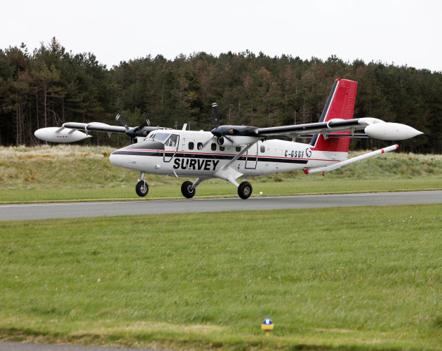
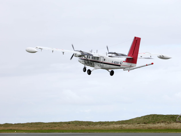
low flying craft

Plane carrying out new surveying mission across countryside 'may startle livestock'

The plane will be collecting geochemical and geophysical data on rocks, soil and water.

Geological Survey Ireland Geological Survey Ireland

GEOLOGICAL SURVEY IRELAND has issued a warning to farmers that their livestock may be startled in the coming months by a low flying plane that is collecting data over some parts of the country.

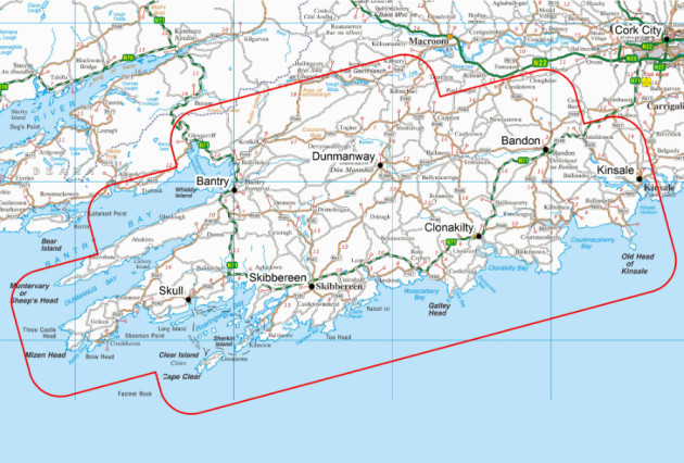
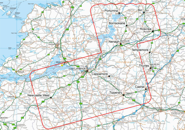
The aircraft equipped with state-of-the-art geophysical technology will be flying at low heights over west Cork, Limerick, north Tipperary, and south Offaly until the end of the year.

“The sound of the plane is similar to that of a passing lorry but could possibly startle sensitive livestock, such as horses,” the GSI said in a statement.

The plane will be collecting geochemical and geophysical data on rocks, soil and water as part of the Tellus Survey.

????????????????????????????????????????????????????????????????????????????????????????????????????????????????????????????????????????????????????????????????????????????????????????????????????????????????????????????????????????????????????????????????????????????????????????????????????????????????????????????? Geological Survey Ireland Geological Survey Ireland

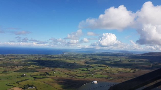
????????????????????????????????????????????????????????????????????????????????????????????????????????????????????????????????????????????????????????????????????????????????????????????????????????????????????????????????????????????????????????????????????????????????????????????????????????????????????????????? Photo taken by a crew member Geological Survey Ireland Geological Survey Ireland

The research being carried is the first step in mapping 75% of Ireland by 2020 according to Dr James Hodgson, Senior Geologist and Project Manager for Tellus.

It is hoped that the data collected will be used to benefit the agricultural and environmental sectors.

“The Tellus Survey is an important and exciting project which keeps providing us with significant information about the geological composition of Ireland.

“The survey will bring new insights into the geology of the region, in particular, the significant mineral resources and agricultural properties across the west and southwest,” Hodgson said.

The plane is able to sense geological properties not apparent from conventional mapping techniques, effectively ‘seeing through’ Ireland’s deep glacial deposits and extensive peat and soil cover.

??????????????????????????????????????????????????????? West Cork survey area Geological Survey Ireland Geological Survey Ireland

???????????????????????????????????????????????????????????????? Tipperary survey Area Geological Survey Ireland Geological Survey Ireland

The GSI said it issued information leaflets to all homes and business in the survey zones at the end of April, providing advance notice of the survey.

Anyone with concerns about sensitive livestock can call the Tellus Freephone Information Line on 1800 45 55 65.

Your Voice
Readers Comments
25
This is YOUR comments community. Stay civil, stay constructive, stay on topic. Please familiarise yourself with our comments policy here before taking part.
Leave a Comment
    Submit a report
    Please help us understand how this comment violates our community guidelines.
    Thank you for the feedback
    Your feedback has been sent to our team for review.

    Leave a commentcancel