Sign in. It’s quick, free and it’s up to you.
An account is an optional way to support the work we do. Find out more.
Sign in. It’s quick, free and it’s up to you.
An account is an optional way to support the work we do. Find out more.
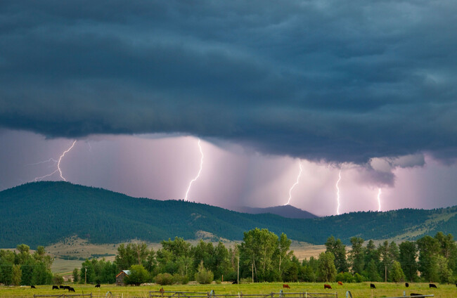
A THUNDERSTORM WARNING is in effect for five counties as the weather becomes less settled this week.
Met Éireann has issued a Status Yellow thunderstorm warning for Clare, Limerick, Tipperary, Laois, and Offaly.
These areas are likely to experience some scattered thunderstorms this afternoon, with possible impacts including lightning and spot flooding.
The warning is valid until 8pm this evening.
Overall, the forecast for the country today is one of “a mix of cloudy periods and sunny spells”.
Showers, some of them heavy, are developing across central and southern areas this afternoon and in the evening.
Today’s temperature highs are 16 degrees Celsius in the east and 22 degrees in the west.
Most places will become dry tonight, with patchy cloud and clear breaks, and lowest temperatures of three to eight degrees.
Tomorrow should start off largely dry with variable cloud and sunshine but soon see showers developing, some of them heavy with spot flooding and isolated thunderstorms possible.
Met Éireann says that “cloud will gradually build from the southwest during the afternoon and patchy rain and drizzle will push into Munster during the evening”.
Highest temperatures tomorrow are expected to be between 16 to 20 degrees.
“Any residual cloud and patchy rain and drizzle in the south will soon clear on Wednesday morning to leave a dry and mostly sunny day with just the chance of a few showers bubbling up in southern counties,” Met Éireann says, with highs of 18 to 22 degrees.

To embed this post, copy the code below on your site















have your say