Sign in. It’s quick, free and it’s up to you.
An account is an optional way to support the work we do. Find out more.
Sign in. It’s quick, free and it’s up to you.
An account is an optional way to support the work we do. Find out more.
LAST UPDATE | 11 Apr 2023
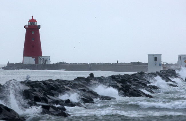
TODAY AND TOMORROW are set to bring strong winds to many parts of the country, with a Status Orange warning being issued for Cork, Kerry and west Clare.
Winds in excess of 110 km/h are forecast for all three.
Met Éireann issued a Status Orange warning tonight for Cork, in addition to earlier alerts for Kerry and west Clare.
In Co Kerry, the Status Orange alert kicks in at 2am overnight and will remain in place until 8am tomorrow morning.
In west Clare, the Status Orange warning also takes effect from 2am but is only valid until 5am.
Cork’s warning takes effect from 6am and will last until 9am.
Status Orange - Wind warning for Cork
— Met Éireann (@MetEireann) April 11, 2023
Met Éireann Weather Warning
Stormy for a time with damaging gusts in excess of 110 km/h⚠️
Valid: 06:00 Wednesday 12/04/2023 to 09:00 Wednesday 12/04/2023
Issued: 22:01 Tuesday 11/04/2023 pic.twitter.com/JtKQPh5vPb
Separately, a Status Yellow wind warning will come into place for Clare, Cork, Kerry, Limerick, and Galway from midnight until 3pm tomorrow, with “very strong west to northwest winds developing”.
A second Status Yellow warning will then come into effect for all of Leinster, as well as Cavan, Donegal, Monaghan, Leitrim, Roscommon, Sligo, Tipperary and Waterford from 8am tomorrow until 8pm due to “very strong northwest winds developing”.
Widespread gusts of between 90 and 110km/h are expected, with the strongest winds in coastal areas and over higher ground.
A red marine warning has also been issued from Valentia to Loop Head, which will be in place from 5am on Wednesday morning until 8am.
⚠️Status Yellow - Wind warning for Carlow, Dublin, Kildare, Kilkenny, Louth, Meath, Wexford, Wicklow, Cork, Waterford⚠️
— Met Éireann (@MetEireann) April 11, 2023
Strong southerly winds, veering westerly. Very strong gusts expected for a short time this afternoon and evening
Valid: 15:00 11/04/2023 - 21:00 11/04/2023 pic.twitter.com/hEtyHcay7A
The UK Met Office has issued a yellow wind warning for Northern Ireland until midnight, and again from 11am tomorrow until 8pm.
Today, heavy downpours are forecast in places during the afternoon and evening, with a clearance to showers to follow later into Connacht and Munster.
Highest temperatures will be around 7 to 11 degrees.
It will stay blustery tonight with moderate to fresh southwesterly winds particularly strong along Atlantic coasts.
“Rain will clear the northeast early tonight to clear spells and scattered heavy showers with possible hail. Isolated thunderstorms are also possible. Outbreaks of heavy rain will spread from the west overnight. Lowest temperatures of 0 to 4 degrees,” Met Éireann expects.
Tomorrow will be “very windy” with “very strong and gusty northwest winds and gales in Atlantic coastal areas”.
“Mostly cloudy with spells of rain, heavy at times with local downpours. Rain will become confined to the northeast later with brighter weather and scattered showers developing elsewhere. Highest temperatures of 6 to 10 degrees.”

To embed this post, copy the code below on your site













have your say