Sign in. It’s quick, free and it’s up to you.
An account is an optional way to support the work we do. Find out more.
Sign in. It’s quick, free and it’s up to you.
An account is an optional way to support the work we do. Find out more.
LAST UPDATE | 10 Mar 2023
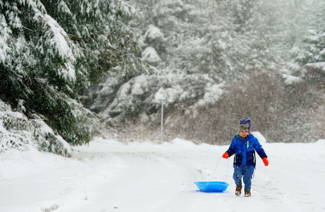
A STATUS YELLOW warning for ice is in place for 15 counties as temperatures are set to drop to -5 degrees.
The snowfall has cleared into the Irish Sea, but Met Éireann warns widespread frost and icy surfaces in places will lead to hazardous travel conditions.
The Status Yellow ice warning is in place for Cavan, Donegal, Monaghan, Kildare, Laois, Longford, Louth, Meath, Offaly, Westmeath and all of Connacht until 10am tomorrow.
A Yellow warning for ice is also in place for Northern Ireland until 10am tomorrow.
Over 100 schools across Northern Ireland closed today as a result of heavy overnight.
Speaking to RTÉ’s Morning Ireland, Met Éireann’s Gerry Murphy said that once the snow cleared from Dublin and Wicklow this morning, “that’s really the end of the snow in the shorter term”.
Keith Leonard, head of the National Emergency Coordination Group, told Morning Ireland also urged motorists to be cautious.
Leonard said that road conditions are “fairly hazardous” and that the key message is for “people to slow down when they’re driving and take care”.
He also noted that “even when roads are treated, they can still be slippery because there can still be black ice blackouts”.
Leonard added that public transport is working “fairly well” and that there should be “minimal disruption”.
Tonight, temperatures could fall to as low as -5 degrees, with rain falling as a mix of sleet and snow in some places.
“We’re in for a very frosty night,” said Murphy, “which means that the conditions on the roads will be quite poor tonight as well, so people need to be very aware of that.”
Tomorrow morning, rain, sleet and snow will spread northeastwards to all areas, with some small accumulations possible in parts of Connacht, Ulster and Leinster.
It will be cold in Ulster, Connacht and Leinster with afternoon highs of 1 to 5 degrees, but it will gradually turn milder in the southwest, with highs of 9 to 11 degrees.
Then on Sunday, Met Éireann forecasts that a largely dry start will then turn wet and windy.
Rain will spread from the west through the morning and afternoon, with the possibility of some heavier falls later in the evening.
But it will be a much milder day in store, with highest daytime temperatures of 7 degrees in the north to 11 degrees in the south.
Gerry Murphy said this will signal a return to “typical Irish weather”.
“Sunday is going to be a fairly wet day, we’ll start dry and then a band of rain will move up across the country,” said Murphy.
“Then there will be further spells of rain and showers as we go through Monday, Tuesday into Wednesday, so back to more typical Irish weather in the sense that it’s a wet, blustery and mild.”
Ahead of an expected thaw tomorrow, the Road Safety Authority (RSA) is advising road users to remain vigilant on the roads as the snow and ice begins to melt.
It has the following advice for road users:
Additional reporting by Eoghan Dalton and Hayley Halpin

To embed this post, copy the code below on your site












have your say