Sign in. It’s quick, free and it’s up to you.
An account is an optional way to support the work we do. Find out more.
Sign in. It’s quick, free and it’s up to you.
An account is an optional way to support the work we do. Find out more.
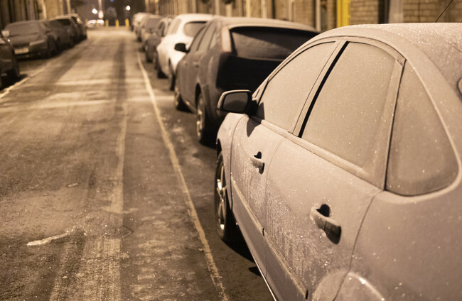
CAVAN, DONEGAL, MONAGHAN, Leitrim, Sligo and the six counties of Northern Ireland are all under a snow-ice warning this morning.
The Status Yellow warning came into effect at midnight and will stay in place until noon on Thursday, as an ‘Arctic air mass’ is settling over the country.
Met Éireann has warned of widespread frost, icy conditions and the chance of sleet and snow in some areas.
Today, highest temperatures will range from just 6 to 10 degrees, and it’ll feel colder with fresh and gusty west to northwest winds.
Last night was bitterly cold, but showers were mostly confined to the north and west.
Today will stay cold, with sunshine and scattered showers, again most frequent in the north and northwest, where some will fall as sleet, hail and possibly snow over higher ground.
The cold snap continues through Wednesday night, bringing widespread frost and icy patches as temperatures fall to as low as -3 degrees.
Wintry showers will persist in Ulster and north Connacht but ease elsewhere.
Thursday will start cold and frosty, with sunny spells and just the odd shower, most of them in the west and north and still potentially wintry.
It will turn very cold again on Thursday night before cloud thickens from the west and the first signs of change arrive.
By Friday, milder Atlantic air will push in, bringing cloudier skies and outbreaks of rain and drizzle spreading eastwards through the day.
Temperatures will range from 4 or 5 degrees in the northeast to as high as 11 degrees near western coasts.

To embed this post, copy the code below on your site












have your say