Sign in. It’s quick, free and it’s up to you.
An account is an optional way to support the work we do. Find out more.
Sign in. It’s quick, free and it’s up to you.
An account is an optional way to support the work we do. Find out more.
LAST UPDATE | 19 Oct 2024
COUNTIES KERRY, SLIGO and Leitrim have now been upgraded to Status Orange for the approaching Storm Ashley.
A status Orange wind warning had been put in place by Met Éireann for counties Galway and Mayo tomorrow while a Status Yellow warning will be in place for every other county. Donegal and Clare have since been added to the counties under Orange warnings.
🟠Status Orange Wind Warning Update🟠
— Met Éireann (@MetEireann) October 19, 2024
Kerry, Sligo & Leitrim have been upgraded to Status Orange for #StormAshley
Status Orange warning is now valid from 12pm to 8pm Sunday 20th October
⚠️#staysafe and see https://t.co/e0QpncNkig for full details on all wind & rain warnings⚠️ pic.twitter.com/fAjqL62KS5
The warning is valid from 12pm to 8pm tomorrow.
Motorists are being advised to take extra care this weekend on the roads as the entire country has received a weather warning ahead of Storm Ashley tomorrow.
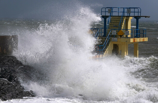
People are also being advised to stay away from coastal areas tomorrow. The National Directorate for Fire and Emergency Management (NDFEM) warned that as Storm Ashley is forecast to bring strong and gusty southerly winds, damaging gusts are expected as well as high tides.
“Potential impacts include very difficult travel conditions, fallen trees, power outages, coastal flooding, and wave overtopping,” a spokesperson said.
Much of today will be bright with sunny spells across the country with some passing showers but wind and rain will pick up overnight.
Along coastal regions, there continues to be a risk of flooding due to very high tides this week, even in the absence of rain and strong winds. The tides will continue overnight.
Met Éireann have released information on high tides expected for tomorrow across the country. “The strong winds will exacerbate the risks of coastal flooding during all day Sunday, but especially at these times,” it said.
#StormAshley high tides info:
— Met Éireann (@MetEireann) October 19, 2024
Useful to know the times of high tide at your location, as the strong winds will exacerbate the risks of coastal #flooding during all day Sunday, but especially at these times.
Stay Back,Stay High, Stay Dry
(High tides data from of @MarineInst ) pic.twitter.com/68PjBR0ojB
Heavy showers will begin nationwide overnight and strong southeast winds will develop with gales along coasts. Lowest temperatures tonight will be 9 – 13 degrees.
National Director of NDFEM, Keith Leonard, said that Local Authority Severe Weather Assessment Teams are monitoring conditions locally.
“With potential for tidal flooding in coastal areas, especially in Southern and Western counties, surface flooding in urban locations is also possible and Local Authorities have their emergency response teams in place, ready to respond where and when necessary.
“The public also have their own part to play. I would absolutely urge everyone to stay away from all coastal areas during this period and to heed the advice from the Irish Coast Guard to ‘Stay Back, Stay High, Stay Dry’. As dangerous travelling conditions are also possible, road users should pay particular attention to the risk posed by fallen trees and flying debris.”
The Road Safety Authority (RSA) has told motorists to slow down and have asked that all road users to travel with caution.
Particular warnings have been issued to drivers who intend to travel on high-speed roads, such as dual carriageways and motorways, as there is an increased dangers of aquaplaning with rain.
For other road users, such as cyclists and pedestrians, the RSA has warned of debris, loose branches and fallen trees that may be on the roads as winds pick up overnight and into tomorrow.
People in the west are told to expect coastal flooding, large waves, loose objects being displaced, fallen trees, difficult travelling conditions, potential power outages and damage or destruction of already weakened structures.
Thunderstorms are also possible tomorrow, Met Éireann said, and strong to gale force winds will being the potential for disruptions all over the country.

To embed this post, copy the code below on your site














have your say