Sign in. It’s quick, free and it’s up to you.
An account is an optional way to support the work we do. Find out more.
Sign in. It’s quick, free and it’s up to you.
An account is an optional way to support the work we do. Find out more.
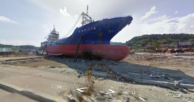
GOOGLE HAS unveiled its digital mapping project which has charted the areas of northern Japan worst affected by the 11 March 9.0-magnitude earthquake and tsunami.
The natural disasters killed over 15,000 people, forced around 100,000 from their homes, and sparked a crisis at the Fukushima nuclear power plant as the facility’s cooling system shut down. Thousands of people remain unaccounted for.
Having driven over 44,000km around the region with its Street View cars and cameras, Google has compiled an online catalogue called Build the Memory containing 360-degree views of the area.
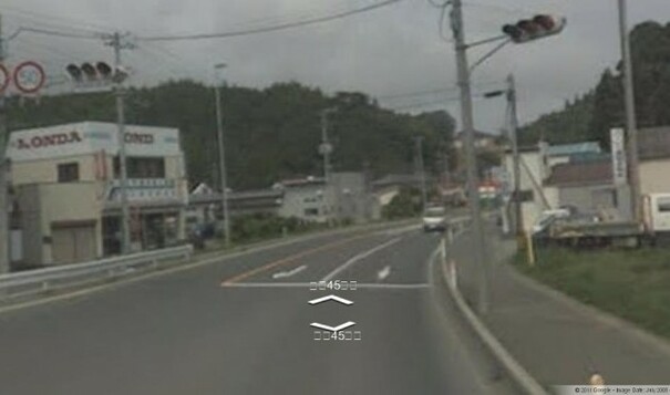
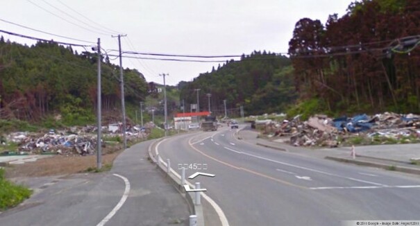
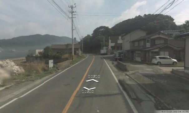
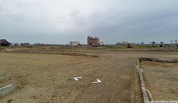
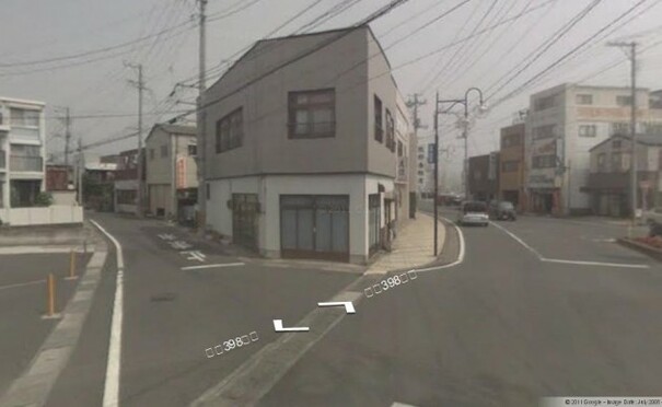
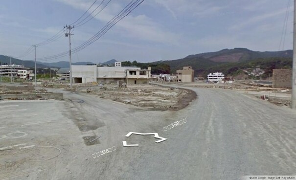
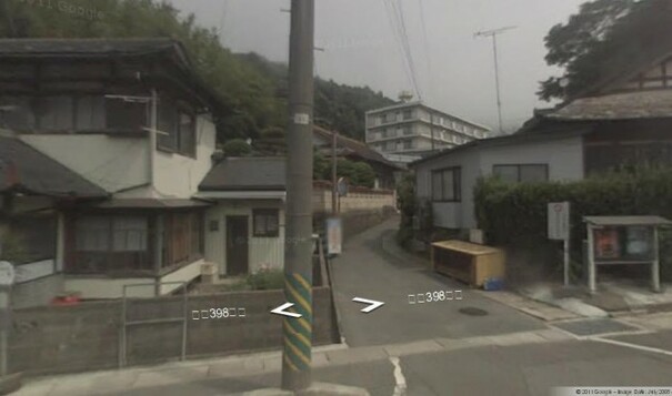
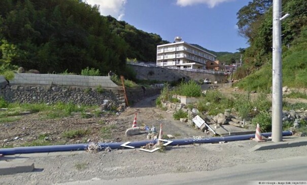
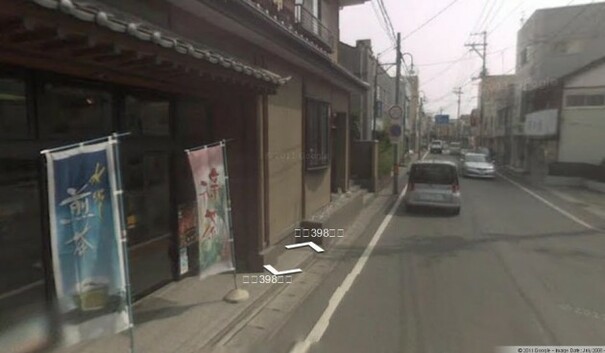
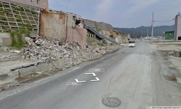
‘Before’ and ‘after’ tabs allow you to compare a portion of the region as it was and as it is now. The date the images were captured on is marked on the lower right corner of the pictures.
Google also invited people to share their own videos and photos of the affected areas, with the aim of helping people “rediscover lost memories of their homes and towns”.
Launching the site, Google said on its blog that it hopes the images “will be useful to researchers and scientists who study the effects of natural disasters”, as well as to historians, architects, city planners, tourists and tourism boards.
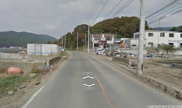
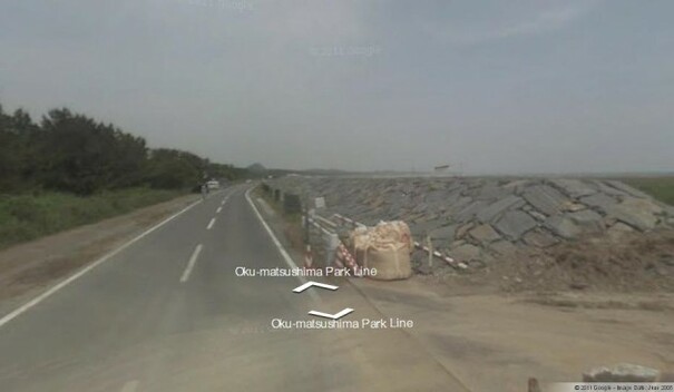
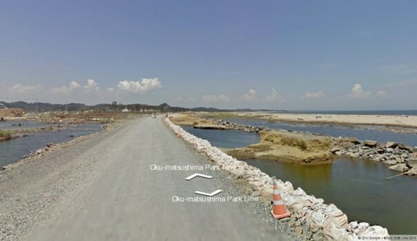
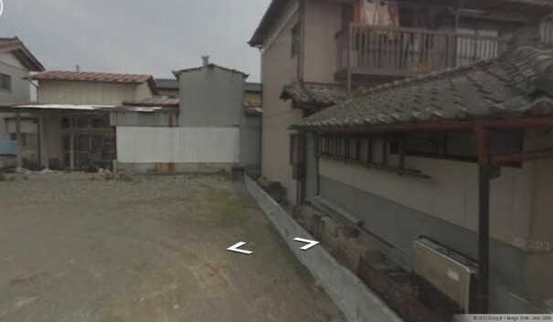
Here is a small selection of the before and after images from across the Miyagi Prefecture as viewed on Google’s Build the Memory site:

To embed this post, copy the code below on your site















have your say