Sign in. It’s quick, free and it’s up to you.
An account is an optional way to support the work we do. Find out more.
Sign in. It’s quick, free and it’s up to you.
An account is an optional way to support the work we do. Find out more.
Updated, June 13, 20:28
A GROUP OF HIKERS who got into trouble on a mountain in Wicklow were reached by rescue teams who used the walkers’ GPS smartphones to find them.
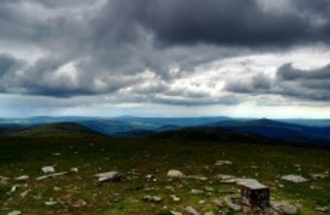
The four adults were descending Lugnaquilla late last night when they were caught by descending cloud and poor visibility. Walking south of the Defence Forces artillery range near the Dereen River, they called gardai who alerted mountain rescue teams at 9.45pm. The rescuers then used GPS co-ordinates from the hikers’ smartphones to pinpoint their exact location and send out a search party.
Hugh McLindon, of the Glen of Imaal Red Cross Mountain Rescue Team, told TheJournal.ie: “On some iPhones or smartphones there’s a GPS capacity, and in this case it proved to be useful. They were able to give us their us their latitude and longitude co-ordinates and we could convert it to a grid reference on a map. So we could get quite close to them that way.
“The descent route from Lugnaquilla has two routes and they’re well marked, but there’s always the possibility of straying off them so the group were understandably nervous.”
There were no injuries during the rescue operation, which was also assisted by the Defence Forces and gardai.

To embed this post, copy the code below on your site














have your say