Sign in. It’s quick, free and it’s up to you.
An account is an optional way to support the work we do. Find out more.
Sign in. It’s quick, free and it’s up to you.
An account is an optional way to support the work we do. Find out more.
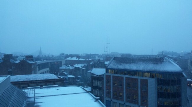
A MET ÉIREANN snow-ice warning is in effect this morning.
There were snow showers – proper snow showers – in Dublin, Kildare, Meath and Cavan first thing, and the advisory is set to stay in effect until 10am.
The warning covers Leinster, Cavan, Monaghan and Donegal.
Here are the details:
Some sleet and snow showers at times, especially on high ground, but there is also a risk at lower levels, with possibly between 1 and 3 cm locally. Parts of Ulster and Leinster are most at risk.

According to the latest forecast, there’ll be “accumulations in the morning on hills and mountains, and short lived accumulations at lower levels too”.
The snow will turn to rain later.
Elsewhere “it will be mostly cloudy but mainly dry and this afternoon will be mostly dry everywhere with just isolated showers”.
Temperatures this afternoon will be between 6 and 8 degrees.
There’ll be further isolated wintry showers tonight, with the cold conditions continuing for the weekend.

To embed this post, copy the code below on your site













have your say