Sign in. It’s quick, free and it’s up to you.
An account is an optional way to support the work we do. Find out more.
Sign in. It’s quick, free and it’s up to you.
An account is an optional way to support the work we do. Find out more.
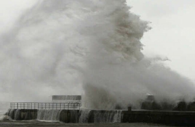
MET ÉIREANN HAS issued status yellow weather warnings for the south of the country, with heavy wind and rain expected today and tomorrow.
A yellow wind warning is also in place for counties Wexford, Clare, Cork, Kerry and Waterford until 6pm today.
Met Éireann said a deep Atlantic depression is approaching from the southwest and will generate unseasonably strong winds, affecting southern counties with squalls of 80 or 90kmh and heavy thundery rain possible.
A status yellow rainfall warning is also in place for much of Saturday in Co Clare and Co Kerry – where a total of 30-50mm of rain is predicted to fall amid.
Widespread heavy showers are expected for most of Saturday across much of the country with a risk of thunder and spot flooding. Highest temperatures of 16-18 degrees.
Good sunshine
Showers will continue into tonight but will become lighter and well scattered overnight.
Temperatures overnight will be around 11-14 degrees.
Many areas in the north of the country will be dry on Sunday morning but rain is expected to spread from Munster by early afternoon, with temperatures of 16-19 degrees.
The sun will make a welcome return on Monday with good sunshine in many places in the afternoon, although light breezes and one or two showers are still forecast.
Met Éireann has also issued a potato blight warning which is expected to last until 7pm on Thursday.

To embed this post, copy the code below on your site














have your say