Sign in. It’s quick, free and it’s up to you.
An account is an optional way to support the work we do. Find out more.
Sign in. It’s quick, free and it’s up to you.
An account is an optional way to support the work we do. Find out more.
IF YOU WANT to cool down with an ice-cream do it before the weekend, the sunny spell won’t be around for too long.

According to Met Éireann today will remain dry in most places, especially the midlands, east and south.
There’s bad news if you’re in Connacht or Ulster, there’ll be more cloud – but some patches of sun too.
Temperatures will hit 17 to 21 degrees, with some sea breezes developing on coasts.
Tonight will be dry and calm, but a few patches of mist may develop. Temperatures drop to 5 to 9 Celsius.
Tomorrow will be dry in most areas, with sunny spells, but it will be cloudier along some Atlantic coasts, with a little patchy drizzle or light rain along the northwest coast later.
It’ll be warmer than today, with temperatures hitting 20 to 24 Celsius inland, but 16 or 17 degrees along Atlantic coasts.
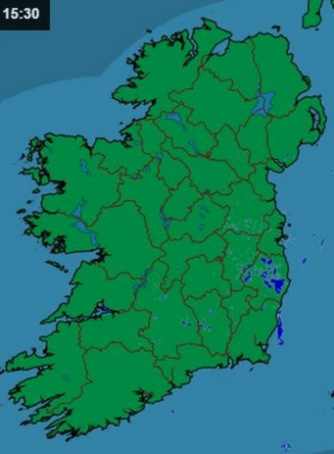
Thursday night will be dry with broken cloud in most parts of the country, although the west and northwest will be cloudier with some rain or drizzle affecting hills and coasts there.
Showery outbreaks of rain or drizzle will continue in the northwest and west during Friday. These showers are likely to extend further east into Connacht and Ulster as the day goes on.
However, the rest of the country will stay dry with some cloud. It will be windy in certain areas with temperatures dropping back a few degrees to below normal values.
The Weekend
Saturday will be a cloudier day overall with scattered showers breaking out in many parts of the country.
Southwesterly Winds will be light to moderate and temperatures will be several degrees below normal.
However, it will become dry with clear spells on Saturday night and winds will back south to southeast.
On Sunday, after a dry, bright start in many places, rain will arrive in the southwest and spread countrywide by late afternoon, turning heavy in places.

Winds backing southeast to east will freshen in most areas and temperatures will remain several degrees below normal for mid-August.
The early days of next week will see further rain or showers in most places. It is likely to be windy at times too, although temperatures may recover to near normal values.

To embed this post, copy the code below on your site













have your say