Sign in. It’s quick, free and it’s up to you.
An account is an optional way to support the work we do. Find out more.
Sign in. It’s quick, free and it’s up to you.
An account is an optional way to support the work we do. Find out more.
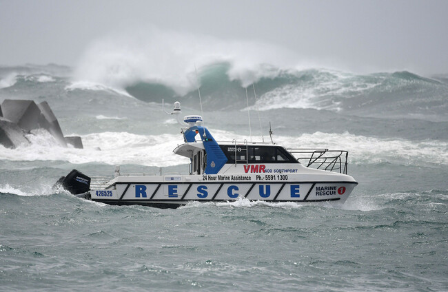
A RARE TROPICAL cyclone has veered towards Australia’s densely populated eastern coast this morning, sparking emergency warnings, closing hundreds of schools, and threatening to flood thousands of homes.
Tropical Cyclone Alfred is expected to strike on Friday morning near Brisbane, forecasters said, the first typhoon to hit the region in more than 50 years.
Tropical Cyclone currently has the strength equivalent of a category 1 Atlantic hurricane, and may make landfall at high tide, complicating the days ahead for emergency services.
Flooding rains, destructive winds and violent waves were expected to batter a densely populated 300-kilometre stretch of coastline straddling the border of Queensland state and New South Wales.
Almost 20,000 homes in Brisbane city alone are at risk of being severely affected by the cyclone, according to Brisbane’s city council.
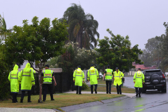
“This is a rare event – to have a tropical cyclone in an area that is not classified as part of the tropics, here in southeast Queensland and northern New South Wales (NSW),” Prime Minister Anthony Albanese said in Brisbane.
The last cyclone to cross near Brisbane of a similar strength was Cyclone Zoe back in 1974, which caused major flooding in the city and NSW’s Northern Rivers region.
Queensland Premier David Crisafulli called on residents to heed evacuation orders.
“If you are in a storm tide zone or you’re in an area where you know there is riverine flooding, you really need to consider and think about your evacuation plan now,” Crisafulli said.
More than 700 schools across Queensland and the flood-prone northern rivers region of New South Wales will close from Thursday onwards, education department officials said.
Major airlines Qantas and Virgin have cancelled a string of flights, while the Gold Coast’s international airport will shut down completely on Wednesday afternoon.
As a number of people were filling sandbags or preparing to evacuate, thrill-seeking surfers paddled out to catch five metre (16 foot) swells stirred up by the storm.
Surfers huddled on the banks at Byron Bay to size-up the supercharged waves crashing on the shore in clouds of spray this morning.
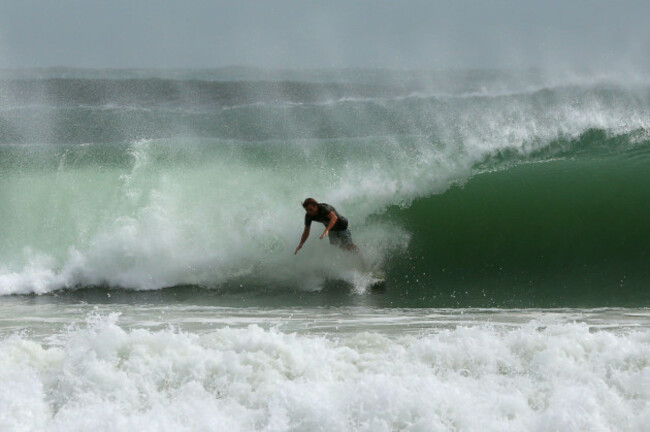
“Surfers rarely, if ever, get a chance to ride such big waves in Byron Bay,” said local Jim Regan.
“With the wind and pelting rain and cyclone Alfred swirling offshore, you’ve really got to be dedicated to paddle into such an angry ocean,” he told reporters.
There was a chance it would make landfall at high tide, said forecasters, creating a “dangerous storm tide” with powerful waves.
The storm front made “an abrupt U-turn” towards the mainland after earlier forecasts showed it would peter out at sea, the weather bureau said.
It would bring “destructive wind gusts” of up to 155 kilometres (96 miles) per hour in some places, the bureau added.
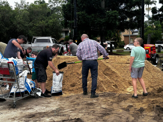
“We are planning for significant rainfall that will see significant inundation, isolation and potential need for evacuation,” said emergency services commissioner Mike Wassing.
“I want people to act now, relocate now before those circumstances are occurring.”
While cyclones are common in the warm tropical waters lapping Australia’s northern flank, it is rarer for them to form in cooler waters further south.
“This is perhaps an indication that due to global warming, the reach of tropical cyclones is extending further than the tropics, requiring preparedness in areas where cyclones are unprecedented,” said Iftekhar Ahmed from the University of Newcastle.
Researchers have repeatedly warned that climate change amplifies the risk of natural disasters such as bushfires, floods and cyclones.
Unsure of what exactly is happening with the earth’s climate? Check out our FactCheck Knowledge Bank for essential reads and guides to finding good information online.

To embed this post, copy the code below on your site














have your say