Sign in. It’s quick, free and it’s up to you.
An account is an optional way to support the work we do. Find out more.
Sign in. It’s quick, free and it’s up to you.
An account is an optional way to support the work we do. Find out more.
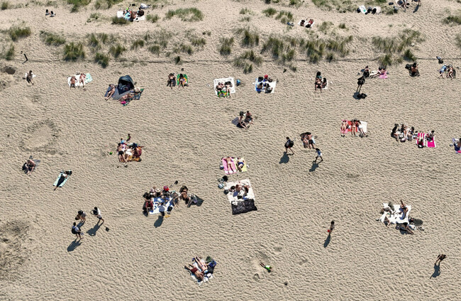
MET EIREANN HAS warned that the high temperatures we have seen this week are a mark of what’s to come for Irish summers.
Speaking to The Journal at the annual Bloom festival in Dublin, Met Éireann senior climatologist Pádraig Flattery said the temperatures we have been seeing “would be unusual in July, and we’re seeing them in May”.
The temperature record for May has been broken twice so far this week.
In July 2025, the average temperature was 16.59 degrees, which was 1.21 °C above averages between 1991-2020, with a high of 31.1 degrees recorded. The high on Tuesday this week was 30.5 degrees.
Flattery said: “We’re seeing over 30 degrees recorded in May for the first time ever in Ireland” and “all of this is being amplified by climate change”.
“The average temperature is creeping up, the minimum temperatures are creeping up, but also the maximum temperatures are being broken now much more frequently than they used to be.”
Though many are enjoying the warmer weather, he warns that along with the hotter temperatures, Ireland will get “much wetter” with climate change.
Flattery said we are a “much warmer” and a “much wetter” country now. However, he said, “you can’t guarantee the weather that you used to be able to guarantee.”
“We know it’s going to be warmer and wetter. The climate change aspect means we don’t know exactly when or where those changes are going to occur.”
The abnormally wet winter we had last year that worsened the effects of Storm Chandra in January, he said.
That storm saw heavy rainfall followed by severe flooding, particularly in the east and south-east of the country causing millions in damage.
He said the storm “wouldn’t have had that impact” and the rainfall and flooding “wouldn’t have happened as badly as it did” if “we were living in a one degree cooler world”.
Flattery said that when it comes to climate, it’s “not all bad news”. Climatologist are no longer using the “worst case scenario” for what the world could look like in 2100.
“The worst-case scenario, which is typically used by climate models, which goes out to 2100, is now seen as no longer plausible.”
Flattery explained that this is largely because renewable energy has become the cheapest form of power in recent years:
“It’s kind of now a no-brainer to move towards renewable electricity and energy, which has a significant impact on greenhouse gas emissions.”
“The current worst case scenario is still bad. We are not on track for the best case scenario, we’re nowhere near it, but at least we’re not in the worst position that we could be.”
Last week, scientists removed this worse case scenario, known as RCP8.5, from climate predictions after the growth in renewable energy use over the last few years. The original scenario mapped out a massive increase in the use of fossil fuels and a 4.5 degree worldwide temperature rise.
Observations Meteorologist at Met Éireann Aoife Kealy also spoke to The Journal about the hot weather we’ve been having which she said are “really extreme temperatures for the time of year”.
She said last summer was “one of the hottest on record” but we didn’t have quite so many temperature peaks like we’ve been having this week.
Instead, according to Kealy, we felt the heat more because temperatures didn’t drop significantly in the evening and into the night: “If it’s a warm day, we need that to allow our bodies to recover.
“When we see those, those overnight temperatures not falling back, that’s indicative of that kind of warmer weather that we’ve been seeing over the last number of years.”
Conor Quinlan, programme manager at the Environmental Protection Agency (EPA), said this week’s hot weather illustrates the way in which Irish weather extremes are becoming more pronounced as the climate changes.
Speaking at the agency’s annual climate conference this morning, Quinlan said it was “highly unusual” for temperature records to be broken day after day as has happened this week and is expected to happen again today.
Quinlan said: “We’ve broken that May temperature record by over two degrees. That’s a record in a stable system you would expect to break maybe by 0.2 degrees. So the magnitude at which this is happening is quite shocking.”
The EPA warned today that Ireland is way off track to meet its emissions reduction targets, with significant shortfalls in sectors including transport and home heating.
Ireland is now just over a degree warmer than the historical average, but the extremes are becoming more extreme, Quinlan said.
“What does that mean if you transpose that onto a July? We’ve had 33 [degrees] plus – do we now have 35-plus, and eventually 40?
“We also know that the last four years are now the top warmest years on record in our country. So if we needed a clear signal, we can’t say we don’t have it. It’s quite alarming.”
With reporting by Valerie Flynn.
To embed this post, copy the code below on your site















have your say