Sign in. It’s quick, free and it’s up to you.
An account is an optional way to support the work we do. Find out more.
Sign in. It’s quick, free and it’s up to you.
An account is an optional way to support the work we do. Find out more.
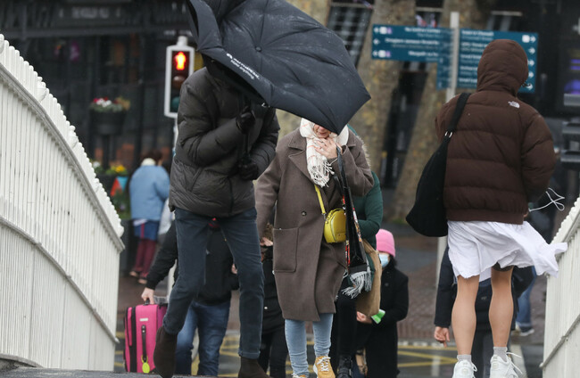
AN ATLANTIC JET stream causing strong winds is likely to bring “unsettled conditions” to Ireland later this week.
Met Éireann has said that the “orientation of the jet stream towards the end of the week will support the development of deep low pressure systems to track near Ireland this weekend”.
It will mean “unsettled conditions bringing wet and possibly very windy weather at times from Friday onwards”.
The national forecaster has issued a weather advisory for Thursday night and Friday to say that “very strong winds” are likely, as well as high seas and spells of heavy rain.
Weather Advisory for Ireland🌊🌧️🌬️
— Met Éireann (@MetEireann) January 20, 2025
Keep up to date with https://t.co/e0QpncNS7O and our App for any warning updates. pic.twitter.com/upmLshJUFy
In the UK, the Met Office has warned of disruptive weather and potentially the “strongest winds of the winter so far”.
A powerful Jet Stream will develop above the North Atlantic this week, with perhaps the strongest winds of the winter so far 🌬️
— Met Office (@metoffice) January 19, 2025
This means a return to wet and windy conditions in the UK by Friday with some disruptive weather likely. Keep up to date with the forecast. pic.twitter.com/DCPvsRBboT
Met Éireann is forecasting mostly cloudy weather today but a brighter day tomorrow, though it will start off cloudier in the south and east with outbreaks of rain and drizzle.
It’s expected to turn colder from Tuesday night, though Wednesday should be a brighter day with some sunny spells and scattered showers.
Thursday morning is set to be wet with widespread rain that will clear to scattered showers and sunny spells in the afternoon with a chance of hail.
Current indications for Friday, Met Éireann says, suggest that it will be a very windy day with near gale force southwesterly winds developing, potentially reaching gale force in places. There will likely be heavy rain that possibly turns to sleet or snow locally. The rain should clear later to sunshine and showers through the day.
The weather is expected to remain very unsettled at the weekend with strong winds and the potential for further heavy rainfall.

To embed this post, copy the code below on your site













have your say