Sign in. It’s quick, free and it’s up to you.
An account is an optional way to support the work we do. Find out more.
Sign in. It’s quick, free and it’s up to you.
An account is an optional way to support the work we do. Find out more.
LAST UPDATE | 20 May 2025
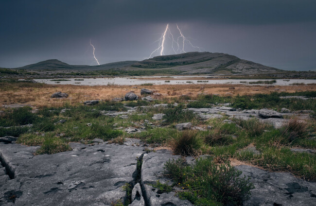
NINETEEN COUNTIES HAVE are under a Status Yellow thunderstorm warning, as spot flooding and lightning have been reported locally.
Met Éireann has warned of the possible impacts from the scattered thunderstorms, including a risk of flooding in local areas.
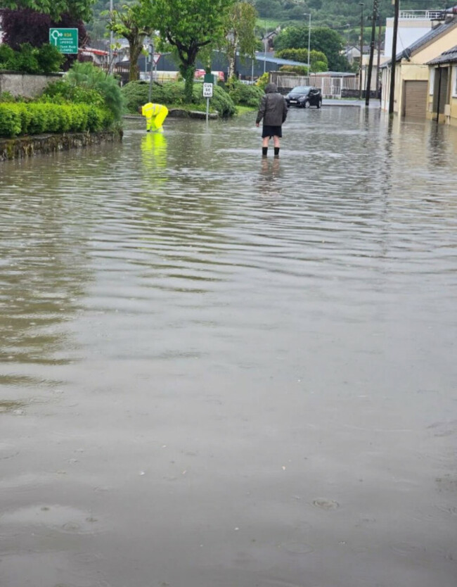
Spot flooding has occurred in Carrick-on-Suir in County Tipperary, while lightning strikes have occurred over Carlow town and in other locations in Leinster and the Midlands.
The alert kicked in at 11am and will remain in place until 8pm this evening.
The nineteen counties under the warning include: Carlow, Kildare, Kilkenny, Laois, Longford, Louth, Meath, Offaly, Westmeath, Wexford, Wicklow, Cavan, Monaghan, Clare, Limerick, Tipperary, Waterford, Galway, Roscommon.
Some of these showers will be heavy with thunderstorms.
Light rain or drizzle will develop in the southwest this afternoon, with highest temperatures of 15 to 20 degrees.
Early tonight, heavy showers will continue in places, with patchy rain and drizzle over the southern half of the country.
It will become largely dry by morning with clear spells developing, though mist and fog will develop in places.
Tomorrow morning, mist and fog will clear along with any lingering patchy rain in the southeast, leaving a dry and sunny day with just the chance of a few showers in the south.
There’ll be highest temperatures tomorrow of 17 to 22 degrees but cooler near northern coasts.

To embed this post, copy the code below on your site















have your say