Sign in. It’s quick, free and it’s up to you.
An account is an optional way to support the work we do. Find out more.
Sign in. It’s quick, free and it’s up to you.
An account is an optional way to support the work we do. Find out more.
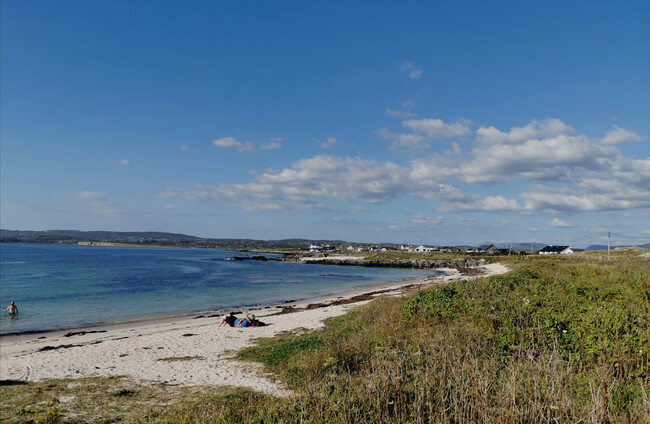
IT’S SET TO be a rather warm weekend ahead with both sunny spells and rain showers ahead.
Met Éireann says today will be mainly dry with sunny spells, but that a few isolated showers may develop in the late afternoon and evening.
Highest temperatures are to range between 15 and 19 degrees today.
Tonight is due to be dry with long clear spells. However, some patches of mist and fog will develop in the near calm conditions.
Tomorrow morning, any patchy mist and fog is expected to clear to give way to a largely dry day with spells of sunshine.
Cloud is to increase from the west during the evening.
It’s forecast to be quite warm tomorrow with highest temperatures ranging between 16 and 20 degrees.
Tomorrow night will start off dry before rain and drizzle is expected to develop in the west and northwest around midnight, spreading eastwards to most areas overnight.
Some patches of mist or fog early this morning.🌫️
— Met Éireann (@MetEireann) May 12, 2023
These will clear and today will be mainly dry with sunny spells.🌤️
A few isolated showers may develop in the late afternoon and evening. ☔️
Highest temperatures of 15 to 19 degrees with light northerly breezes. pic.twitter.com/YkkAVCOMld
Sunday is due to begin mostly cloudy and damp with outbreaks of rain and drizzle. However, the rain will gradually clear eastwards with sunny spells and possibly a few light showers following.
Conditions are to become noticably cooler as the rain clears with highest temperatures of between 11 and 14 degrees.
Looking ahead to next week, Monday is forecast to be mainly dry with bright or sunny spells and a few showers.
Highest temperatures will, again, range between 11 and 14 degrees.

To embed this post, copy the code below on your site
















have your say