Sign in. It’s quick, free and it’s up to you.
An account is an optional way to support the work we do. Find out more.
Sign in. It’s quick, free and it’s up to you.
An account is an optional way to support the work we do. Find out more.
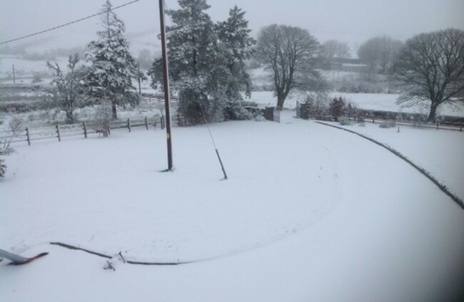
A NATIONWIDE SNOW-ice warning has been issued by Met Éireann for tonight in the wake of Storm Gertrude, with high winds also forecast for much of the country.
Last night, Storm Gertrude hit Ireland hard, leaving thousands of homes without power across the country, and felling trees in all sorts of places.
Now, things are set to turn cold, with two Status Yellow weather warnings issued by Met Éireann for tonight.
A snow-ice warning for across the country will come into effect at midnight tonight and will last until tomorrow at 12pm.
From the Met Éireann website:
Icy patches expected to develop overnight/early Saturday in many parts of the country in spite of the wind.
Sleet and snow showers expected to develop in the north and northwest through the night giving several cms of snow on high ground and a covering at some lower levels.
Towards morning a scattering of wintry showers will spread further south and east to other parts also.
Low temperatures of 0 to 3 degrees Celsius are expected.
On top of this, another wind warning for Donegal, Galway, Leitrim, Mayo and Sligo came into effect this morning and will continue until tomorrow at 3pm.
Winds of average speeds of 60 to 65 km/h with gusts of up to 100 km/h are expected.

To embed this post, copy the code below on your site














have your say