Sign in. It’s quick, free and it’s up to you.
An account is an optional way to support the work we do. Find out more.
Sign in. It’s quick, free and it’s up to you.
An account is an optional way to support the work we do. Find out more.
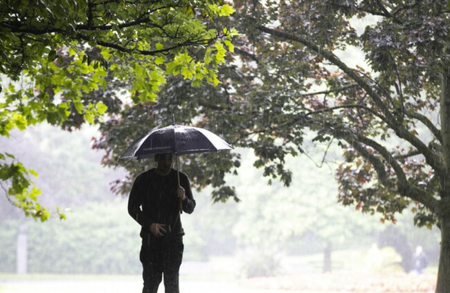
MORE WET AND windy weather is in store this weekend for much of the country as Met Éireann forecasts a risk of isolated thunderstorms.
A Status Yellow gale warning is in place along the west coast from Roches Point in Cork to Slyne Head in Galway and Bloody Foreland in Donegal.
West to northwest winds are expected to reach gale force 8 today on coastal waters to the west of the country, while a small craft warning is in place along the west coast and to Howth Head and the Irish sea.
In Donegal, a Status Yellow rainfall warning is in effect until 3pm due to heavy rain and potential surface and river flooding.
Met Éireann has forecast breezy weather today with a mix of sunny spells and blustery showers, some of which will likely be heavy with hail, and a risk of isolated thunderstorms.
Some wintry falls are possible during the morning over high ground and showers will be most frequent in the west and north, with fresh to strong and gust west and northwest winds.
The highest temperatures today are expected to reach 5 to 8 degrees Celsius.
In its forecast for Sunday, Met Éireann has indicated that “cloud will increase from the northwest tomorrow morning as rain and drizzle pushes in from the Atlantic”.
“The rain will extend to all areas during the day and will turn heavy at times in the northwest. A clearance to scattered showers will occur towards evening,” Met Éireann forecast.
Highest temperatures tomorrow are expected to be 9 to 12 degrees Celsius.

To embed this post, copy the code below on your site













have your say