Sign in. It’s quick, free and it’s up to you.
An account is an optional way to support the work we do. Find out more.
Sign in. It’s quick, free and it’s up to you.
An account is an optional way to support the work we do. Find out more.
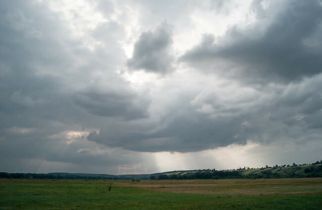
A WEEK ON from several days of cloudless skies and high temperatures, Met Éireann has forecast that this weekend will be a wetter one.
Last week’s temperatures, which gave way to thunder and heavy rain in parts of the country, caused soil to dry up which led to flooding in some areas when the heatwave ended and water wasn’t being absorbed into the ground.
Slightly less intense rainfall can be expected this weekend.
Starting today the sky will be cloudy with occasional sunny spells and scattered showers, especially in the north and west.
Some heavy showers are possible with gusty west to southwest winds and highest temperatures of 16 to 20 degrees.
The forecaster expects scattered showers to continue into tonight with clouds spreading across the country and outbreaks of rain spreading from the west, most persistent in Connacht and Ulster.
The rain is predicted to turn heavy in places accompanied by wind which will be strong at times in the west and northwest, some humidity and lowest temperatures of 10 to 14 degrees.
Tomorrow morning, a band of rain will spread across Connacht and Ulster, turning heavy.
Elsewhere the day will start slightly better with scattered showers and a few sunny spells but the rain will spread southeast through the day, turning light and patchy as it goes.
Drier and sunnier weather will follow behind from the late evening with highest temperatures of 16 to 22 degrees.
On Sunday, Met Éireann has forecast a chance of light rain in the mornings, followed by highest temperatures of 16 to 19 degrees and cloud cover over parts of the country.

To embed this post, copy the code below on your site













have your say