Sign in. It’s quick, free and it’s up to you.
An account is an optional way to support the work we do. Find out more.
Sign in. It’s quick, free and it’s up to you.
An account is an optional way to support the work we do. Find out more.
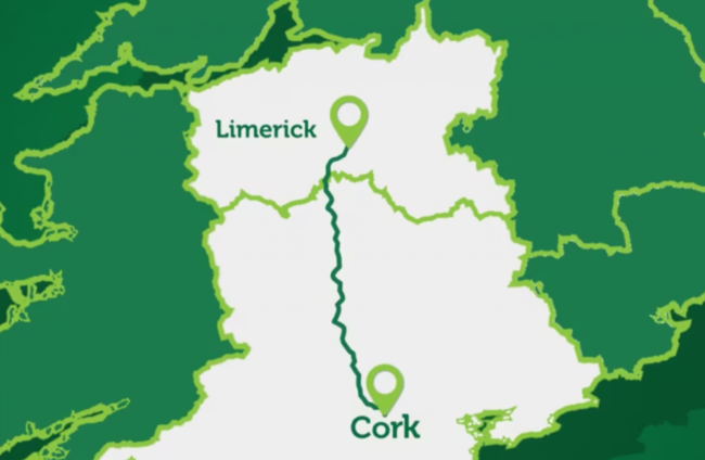
COUNCILS IN LIMERICK and Cork have been briefed on a plan to upgrade the N20 road that connects the two cities to a dual carriage motorway, with the project to be submitted for Government approval next year.
The plan for will be submitted by Limerick City and County councils on behalf of their Cork counterparts, with the road set to be renamed the M20.
Limerick City and County Councils describe the project as “unique in Irish terms” and “highly innovative”.
The speed limit will be 120km/hr, which combined with the extra lanes will reduce travel times by 30 minutes, the Councils said.
Describing it as “the largest single active travel project to be undertaken in Ireland”, the Councils said the project will provide up to 100 km of “safe, shared active travel pathways”.
These will encourage walking and cycling to work, school, and for leisure, “linking communities, promoting healthier lifestyles, and reducing transport emissions”, they said.
The plan will see transport hubs at Rathduff, Mourneabbey, Mallow, Buttevant, Charleville, Bruree and Croom, featuring park and ride facilities for public transport, park and share spaces, charging points for electric vehicles. The hubs will also be connected to local communities with a new “active travel network”.
Separately, a hub for freight vehicles is also planned for Mallow.
The team overseeing the project has also recommended “demand management measures”, such as the introduction of barrier free tolling based on the length of a journey along the almost 100 km long stretch of road.
The details of possible toll payment levels are still being worked out, the Councils said.

To embed this post, copy the code below on your site











have your say