Sign in. It’s quick, free and it’s up to you.
An account is an optional way to support the work we do. Find out more.
Sign in. It’s quick, free and it’s up to you.
An account is an optional way to support the work we do. Find out more.
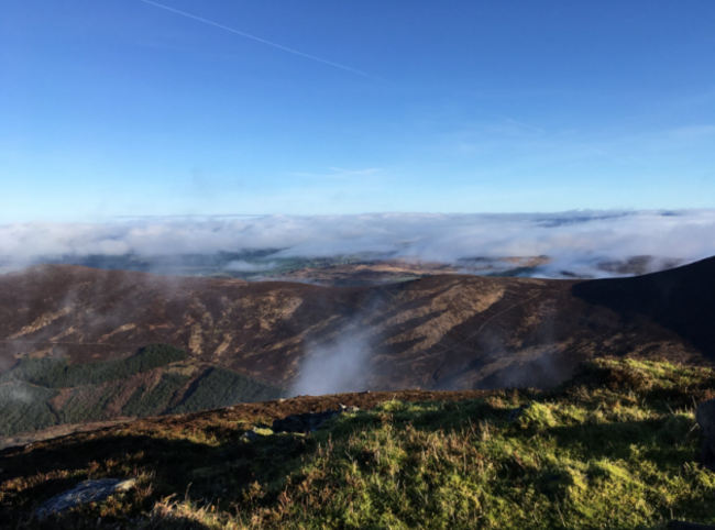
IF YOU SAW that low-lying fog on Friday night or Saturday and thought it seemed out of the ordinary, you were right – it wasn’t normal fog.
Parts of the UK and Ireland got patches of a meteorological feature called cloud inversion, where temperature norms flip, causing cold air close to the group to become trapped by a layer of warm air.
That air then becomes stagnant and air pollution is trapped close to the ground, which causes smog to form. This is most likely to happen at wintertime, but they also can form in the summer.
In densely populated areas, it can cause respiratory problems for some people.
The fog was particularly bad on Friday night, but was still visible yesterday morning. Here are some pictures of the phenomenon, in case you didn’t catch it yourself.
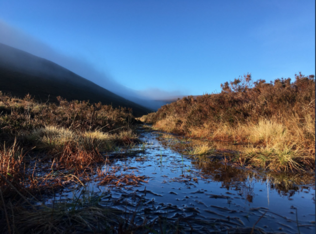
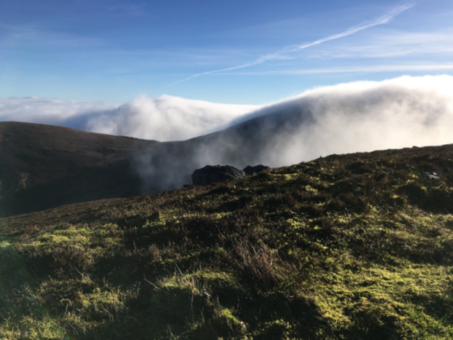

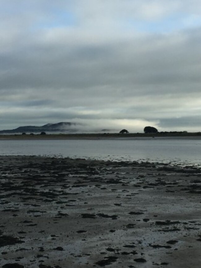
The thick cloud looks like it’s stuck to the side of mountains, rather than a normal fog or mist.
Others have been sharing images from the thick of a dense fog – whether these are pictures taken from the heart of a trapped cloud caused by cloud inversion, or just fog, isn’t clear (pun intended).
There were also examples of cloud inversion in parts of the UK:
If you’ve pictures of the cloud that you’d like to share, send them to us at pictures@thejournal.ie.

To embed this post, copy the code below on your site












have your say