Sign in. It’s quick, free and it’s up to you.
An account is an optional way to support the work we do. Find out more.
Sign in. It’s quick, free and it’s up to you.
An account is an optional way to support the work we do. Find out more.
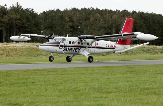
AFTER 16 YEARS, and a low-flying aircraft travelling 440,000km across the country, Ireland has completed a detailed airborne geophysical survey.
Ireland’s national earth science agency, Geological Survey Ireland, ran the ‘Tellus’ national mapping programme to collect geochemical and geophysical data on rocks, soil and water across Ireland.
The survey aircraft flew at just 60 metres over rural areas, and 240 metres over urban areas.
Due to this, the Department of Climate said an “extensive operational communications programme was undertaken”.
The department said the project makes Ireland “one of the best geologically mapped countries in the world and a leader in geophysical survey data in Europe”.
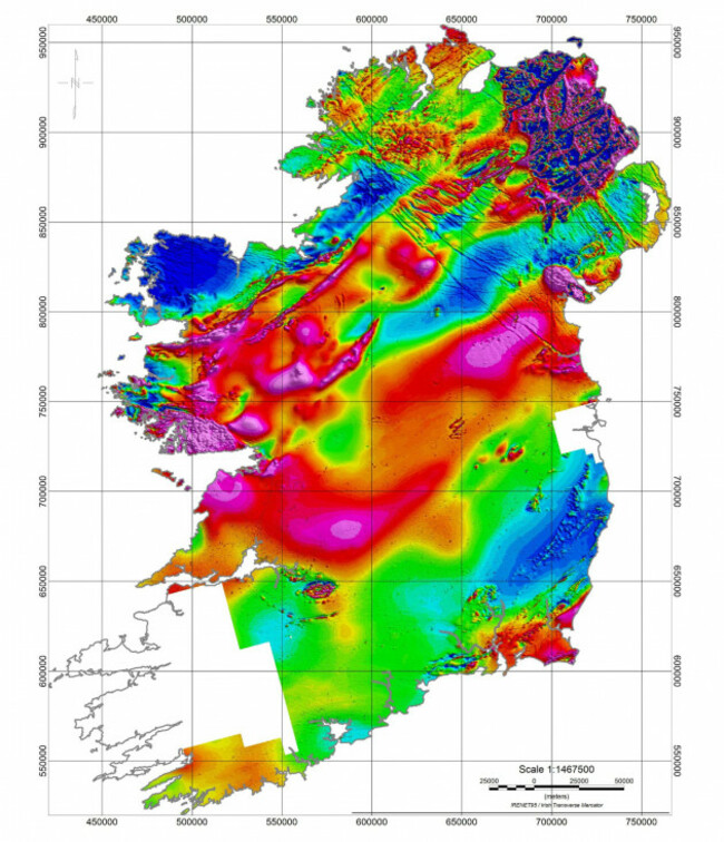
The Tellus survey began 2011 and was named after the Roman goddess of the earth.
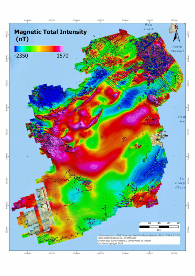
The data collected is turned into maps and used to help support the management of natural resources, assist environmental monitoring, help identify radon risk areas and improve geological mapping.
Data mapping about 80% of the country is now available to be downloaded from Geological Survey Ireland’s website for free.
The final data will be merged with all the other survey data and be available in 2027.
Geological Survey Ireland Director Koen Verbruggen said the final flight of the survey “is a hugely significant moment for Ireland”.
“After 16 years, I am delighted to see the final survey flight and completion of the Tellus airborne geophysics survey. More hard work follows in investigating, modelling and mapping the data,” he said.
“However, this is a hugely significant moment for Ireland as we will have better scientific data to help make decisions on how we best manage our natural resources.”
Tell us, did you ever see the Tellus aircraft on its travels?

To embed this post, copy the code below on your site
















have your say