Sign in. It’s quick, free and it’s up to you.
An account is an optional way to support the work we do. Find out more.
Sign in. It’s quick, free and it’s up to you.
An account is an optional way to support the work we do. Find out more.
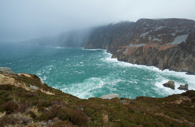
RAIN AND SHOWERS are set to continue over the next few days, according to Met Éireann’s forecast.
The rest of the day will remain blustery with some sunny spells and showers, some showers turning heavy. Highest temperatures of 11 to 16 degrees are expected, although it will be coolest in the northwest with winds.
Scattered showers will stay in the west and north tonight, with clear spells turning cloudy.
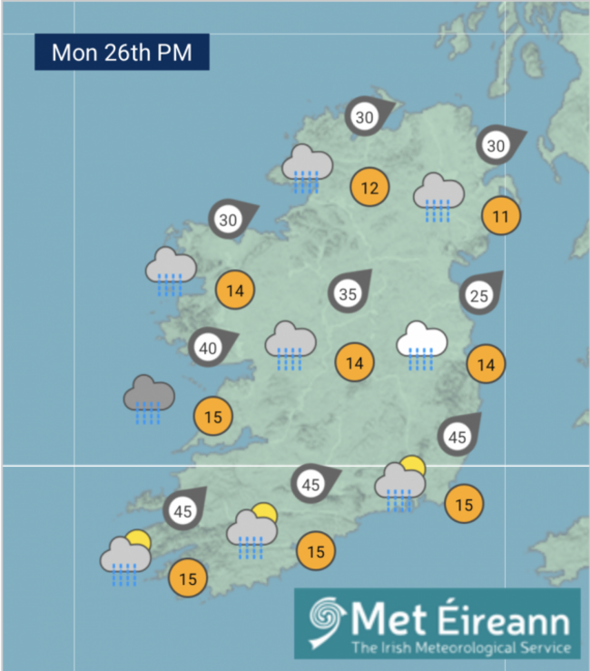
Tomorrow, Monday, will start cloudy with outbreaks of rain, which will turn heavier over the northern half of the country later in the afternoon and evening. It’s expected to clear to shattered showers that night.
Highest temperatures of 11 to 15 degrees are forecast with moderate to fresh southwest winds. Nighttime will bring lowest temperatures of 6 to 10 degrees.
Tuesday will be a wet day with spells of rain heading east through the day. Some sunny spells will develop later as the rain begins to clear to showers. Highest temperatures of 14 to 17 degrees are expected.
Nighttime is forecast to be mild and humid with rain and temperatures between 8 and 12 degrees.
Sunny spells and showers in the morning are predicted for both Wednesday and Thursday, although it will mostly turn cloudy with outbreaks of rain pushing in from the west on Wednesday and the southwest on Thursday. Highest temperatures of 14 to 17 degrees are expected.

To embed this post, copy the code below on your site














have your say