Sign in. It’s quick, free and it’s up to you.
An account is an optional way to support the work we do. Find out more.
Sign in. It’s quick, free and it’s up to you.
An account is an optional way to support the work we do. Find out more.
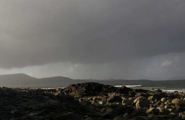
THERE’S A WET and unsettled weekend ahead, according to Met Éireann.
The forecaster said rain will push eastwards across the country today with heavy, persistent showers expected Sunday.
Today will be largely cloudy with patches of drizzle, but heavier rain will develop in the west and move eastwards in the morning and afternoon.
Sunny spells and scattered showers will follow from the west later, with the rain clearing the northwest by evening.
Temperatures will remain cool today, ranging from 10 to 14 degrees, with light to moderate southwesterly winds.
Tonight will bring clear spells and scattered showers, most frequent in Ulster, before cloud builds again and outbreaks of showers develop in the west and northwest.
Overnight lows will fall to between 3 and 7 degrees in light to moderate west and southwest winds.
Sunday will be the most unsettled day of the weekend, with widespread rain becoming heavy and persistent at times.
Thunderstorms and hail are also possible, particularly later in the day, as winds strengthen.
Highest temperatures on Sunday will range from 9 to 13 degrees.
Conditions are expected to turn gradually milder next week.
Monday brings widespread cloud and rain, heaviest in Munster, followed by a changeable spell of showers and brighter intervals into Tuesday with temperatures of up to 17 degrees expected on Wednesday.
To embed this post, copy the code below on your site















have your say